Arctic Trail - From Finland to Reisadalen, Norway
- Table of contents
- The Arctic Trail - a Nordic hiking trail
- Stretches of the Arctic Trail from south to north
- The Arctic Trail from Kopmajoki to Reisadalen - hiking story
- Kopmajoki - Somashytta, 4 km hike from Finland to Norway
- Hiking the Arctic Trail past Guolasjärvi and Halti
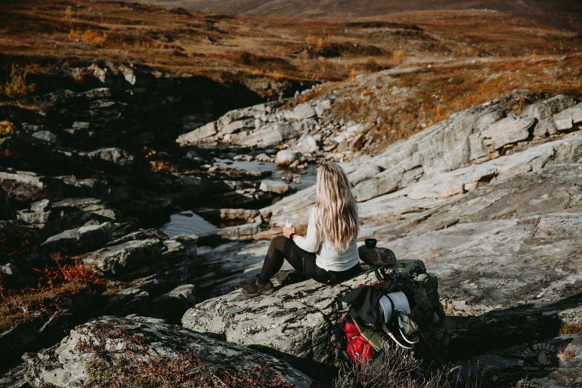
- In the morning sun on the Arctic trail
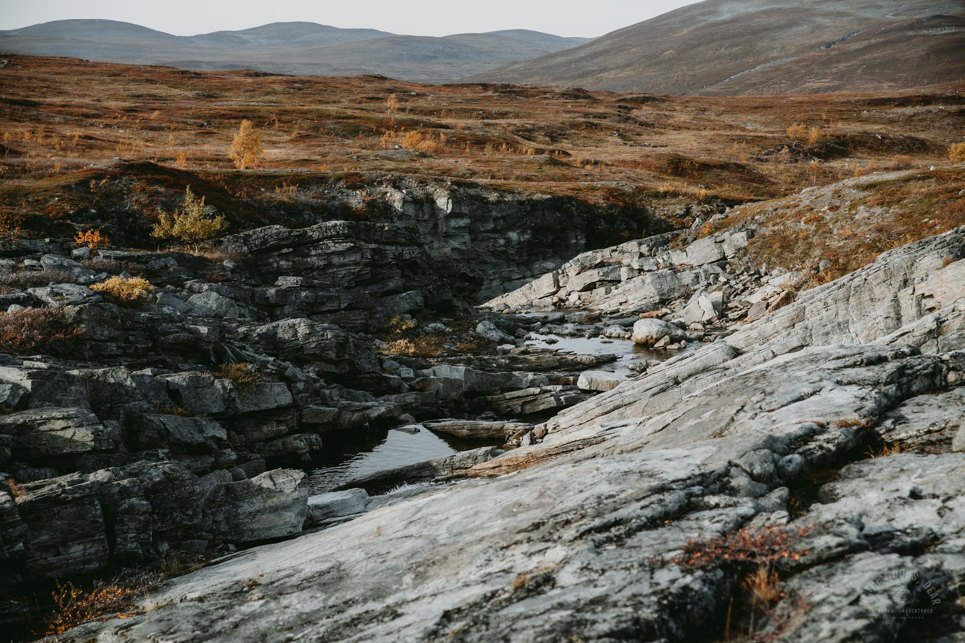
- Sarafossen
- Ovi Raishiin & Nordkalottstua
- Hiking the Arctic Trail along River Reisaelva
The Arctic Trail is a demanding 800-kilometre hiking trail along the borders of northern Finland, Norway and Sweden. You don't have to hike the entire Arctic Trail in one go, but can do it in many different sections.
In Finland, the most famous part of the Arctic Trail is the Halti hike from Kilpisjärvi. But, the most well-known and popular section of the Arctic Trail is probably the Kungsleden Abisko-Nikkaluokta route in Sweden.
I had hiked my own trails in the Käsivarsi wilderness in Finland, and combined a visit to Reisa National Park to my adventure, by hiking along the Arctic Trail from Kopmajoki to Reisadalen. From Kopmajoki to Reisadalen to the Käyräniva shelter, the Arctic Trail is about 42 kilometres. The distance to the border of the Reisa National Park at Sieima is about 46 kilometres.
The Arctic Trail - a Nordic hiking trail
The Arctic Trail (Nordkalottruta or Nordkalottleden in Swedish) is an 800 km long Nordic hiking trail. The Arctic Trail runs through the fells and mountains of Norway, Finland and Sweden, starting in the south at Sulitjelma or Kvikkjokk, crossing the borders of the countries and ending at Kautokeino.
The route includes Øvre Dividal National Park, Reisa National Park, Abisko National Park and Padjelanta National Park, and in Finland Malla Strict Nature Reserve and Käsivarsi Wilderness. The Arctic Trail is a summer hiking trail, but is also used for skiing in winter.
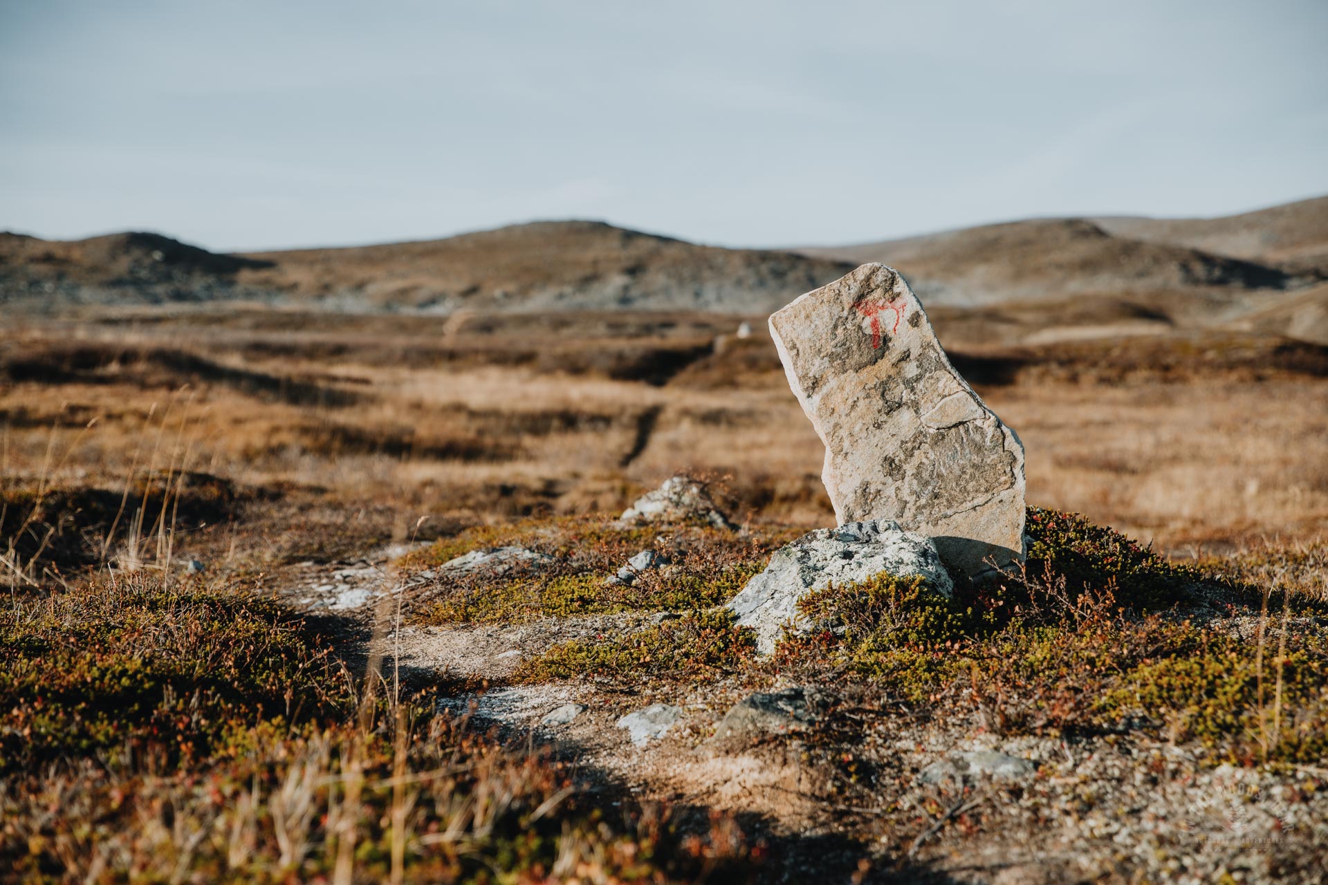
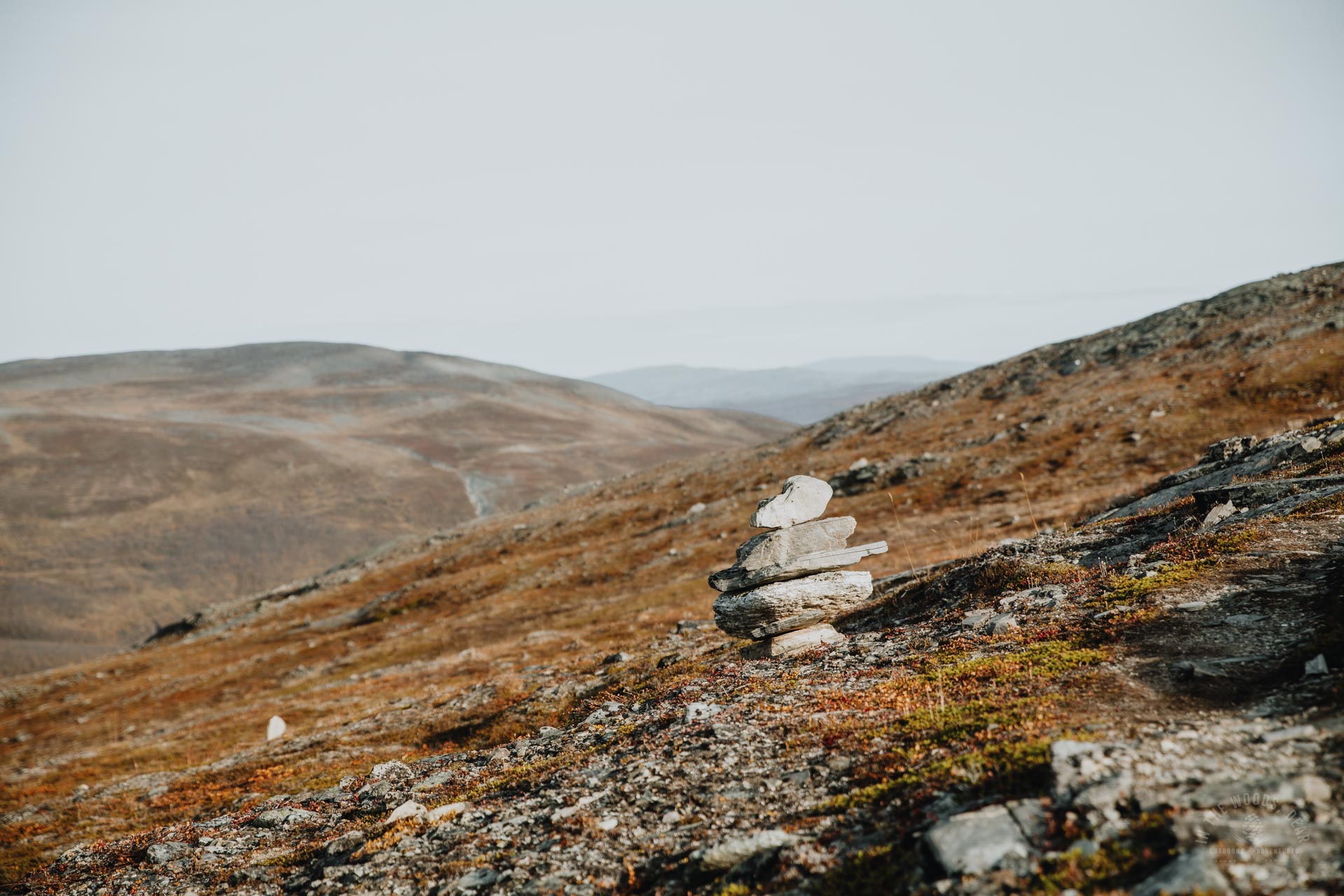
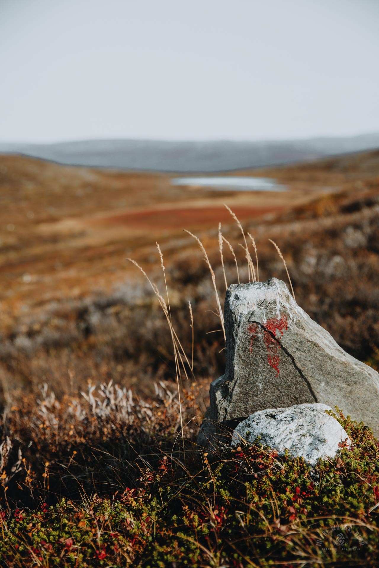
In Finland, the Arctic Trail is mostly marked with orange poles, in some places also with white poles. On the Norwegian and Swedish sides, the signs are red. In addition to the coloured signs, there are signposts.
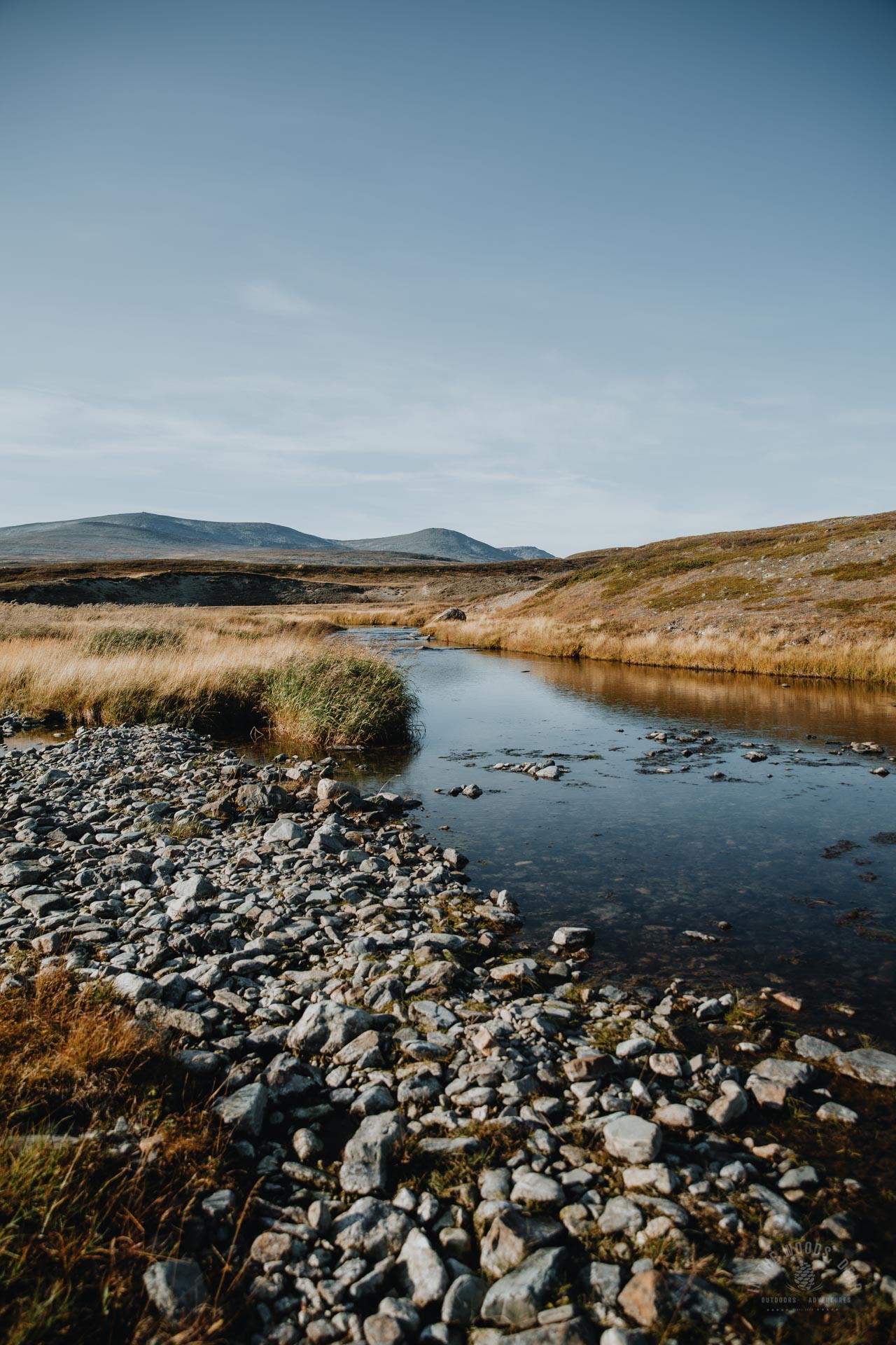
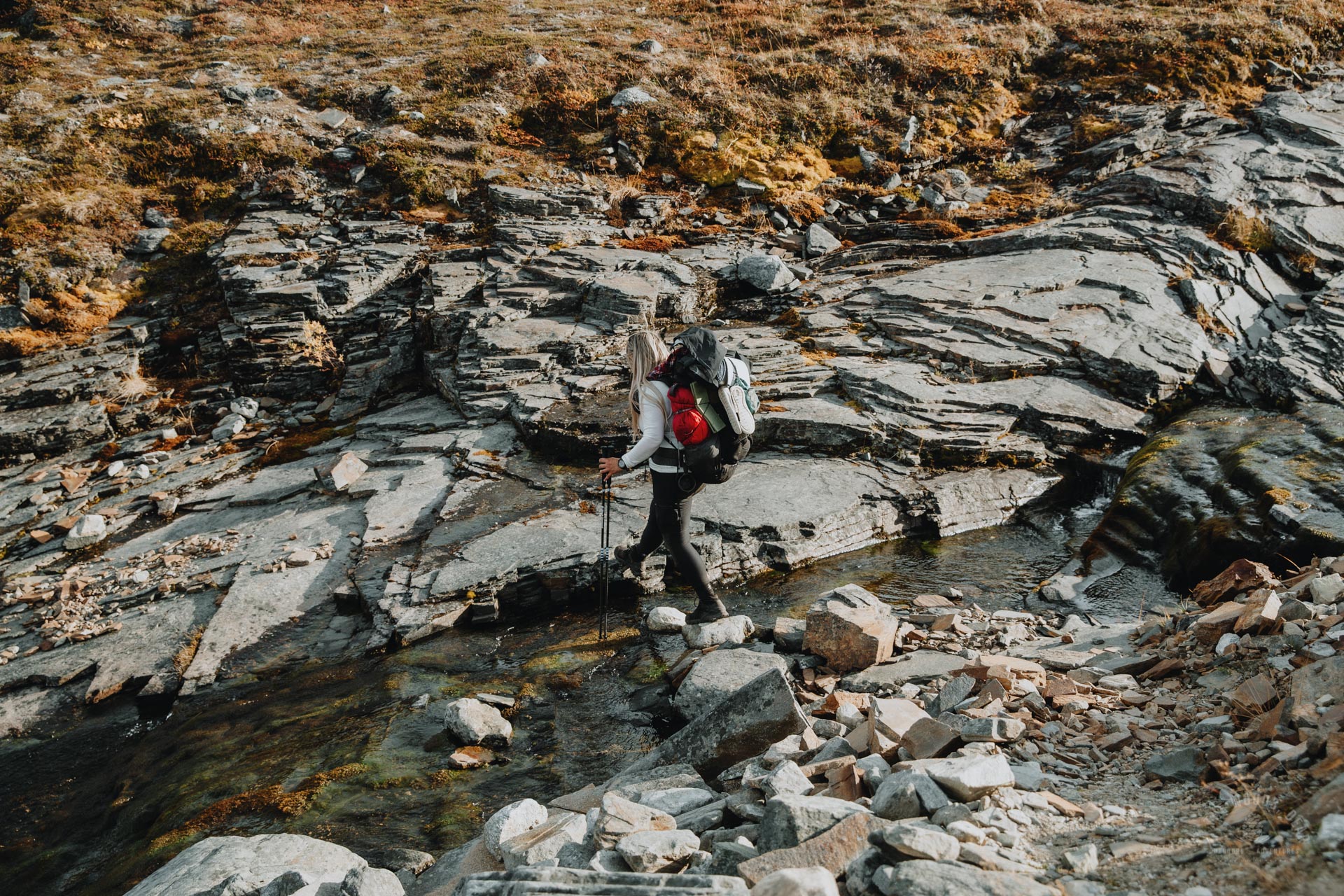
There are river crossings on the Arctic Trail. There are bridges over the larger rivers. In many places, stones have been placed in the stream to allow dry feet to cross the river. At high water, some crossings can become challenging.
In Finland, Norway and Sweden, staying overnight in nature and wild camping is part of everyone's rights. There is also an extensive network of wilderness huts and shelter along the Arctic Trail.
Stretches of the Arctic Trail from south to north
The Arctic Trail can be walked in sections. Some stretches are easy to access and the logistics of the hike are easier than on other stretches.
- Sulitjelma / Kvikkjokk - Kungsleden / Tjäktjavagge (Padjelanta & Stora Sjöfallet National Park)
- Singi / Sälka - Abisko (Kungsleden Nikkaluokta-Abisko route)
- Abisko - Kilpisjärvi (Øvre Dividal, Norway & Three country cairn hike & Malla Nature Reserve)
- Kilpisjärvi - Halti to Lake Pihtsusjärvi (Halti hike)
- Käsivarsi Wilderness, Lake Pihtsusjärvi / Kopmajoki - Reisadalen (Kopmajoki - Saraelv / Sieimma; this article)
- Sieimma - Lake Raisinjärvi (Reisa National Park)
- Lake Raisinjärvi - Kautokeino
To reach the Kopmajoki-Reisadalen section of the Arctic Trail in Käsivarsi wilderness, you must first hike to Kopmajoki or Somasjärvi. These can be reached either from Kilpisjärvi in Finland, or from Guolasjärvi in Norway. To get to Guolasjärvi, you drive from Birtavarre past Gorsabrua.
In the other direction, from Reisadalen to Käsivarsi wilderness, you can reach the Arctic Trail directly from the road at Saraelv.
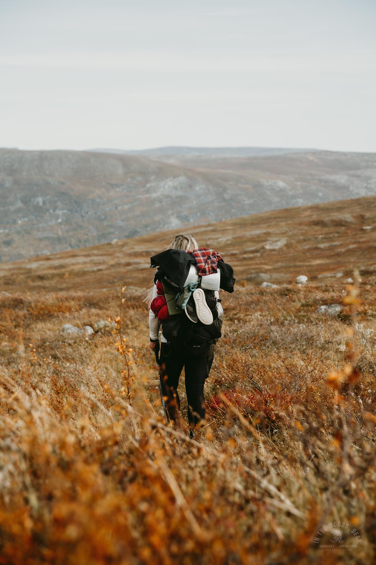
The Arctic Trail from Kopmajoki to Reisadalen - hiking story
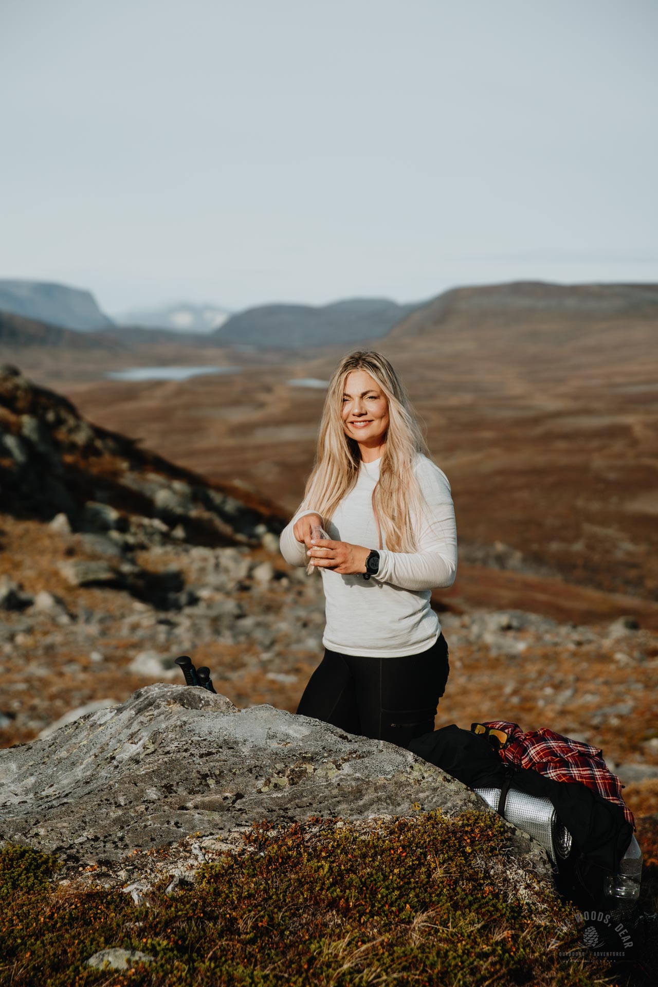
I arrived at Kopmajoki hut from Lake Pihtsusjärvi in the afternoon sun at half past one. The Arctic Trail from Lake Pihtsusjärvi to Kopmajoki is 11 kilometres. The hut was empty and it was a good time for lunch.


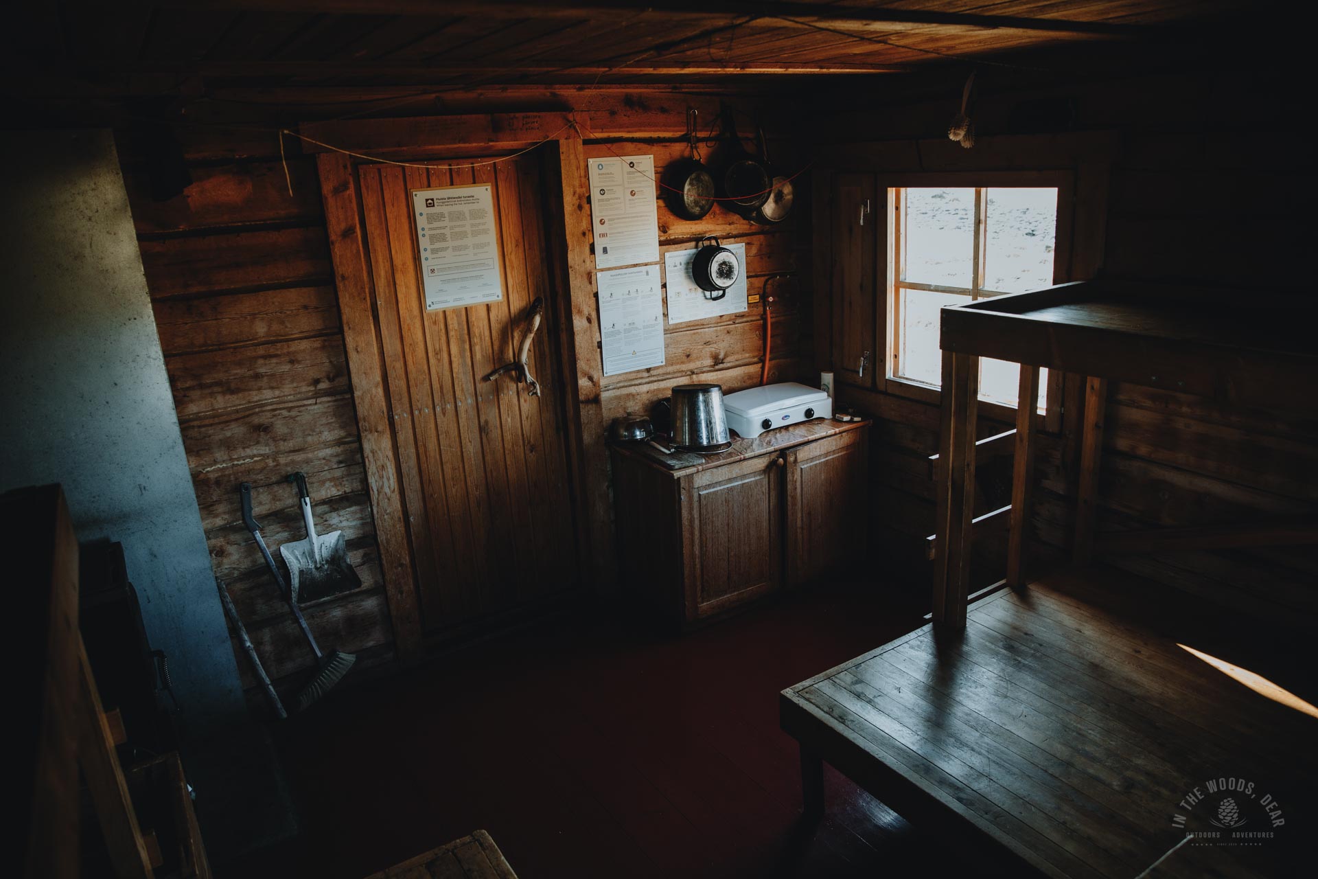


Kopmajoki open wilderness hut is a cozy cabin for six people near the Finnish-Norwegian border and Lake Somasjärvi. The Valtijoki river of fine sand dunes starts a stone's throw away. The yard has a waste sorting point, a wood shed and a dry toilet.
The Goapmajohka river flows to the west of the cabin, and I headed for water for soup and coffee. The river was a mere rocky bed. Fortunately, the furthest channel had enough water flowing to fill my water bottle.
During lunch, I read the notes in the guest book and wrote my own greetings there, too. I would return to Kopmajoki in a few days from Reisa National Park. Already charmed by the secluded Kopmajoki hut and the quiet surroundings, I continued my journey with a slightly wistful feeling.


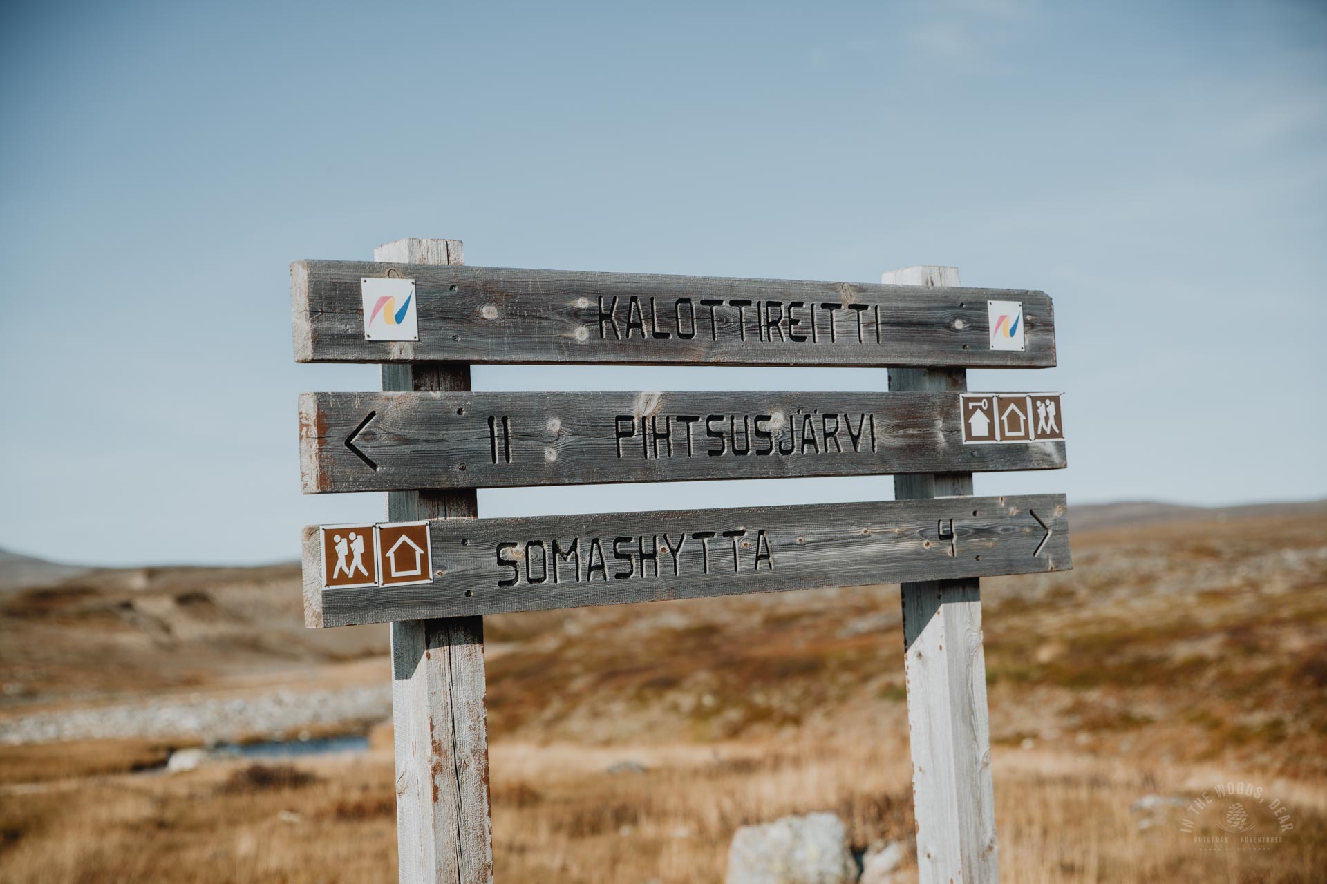
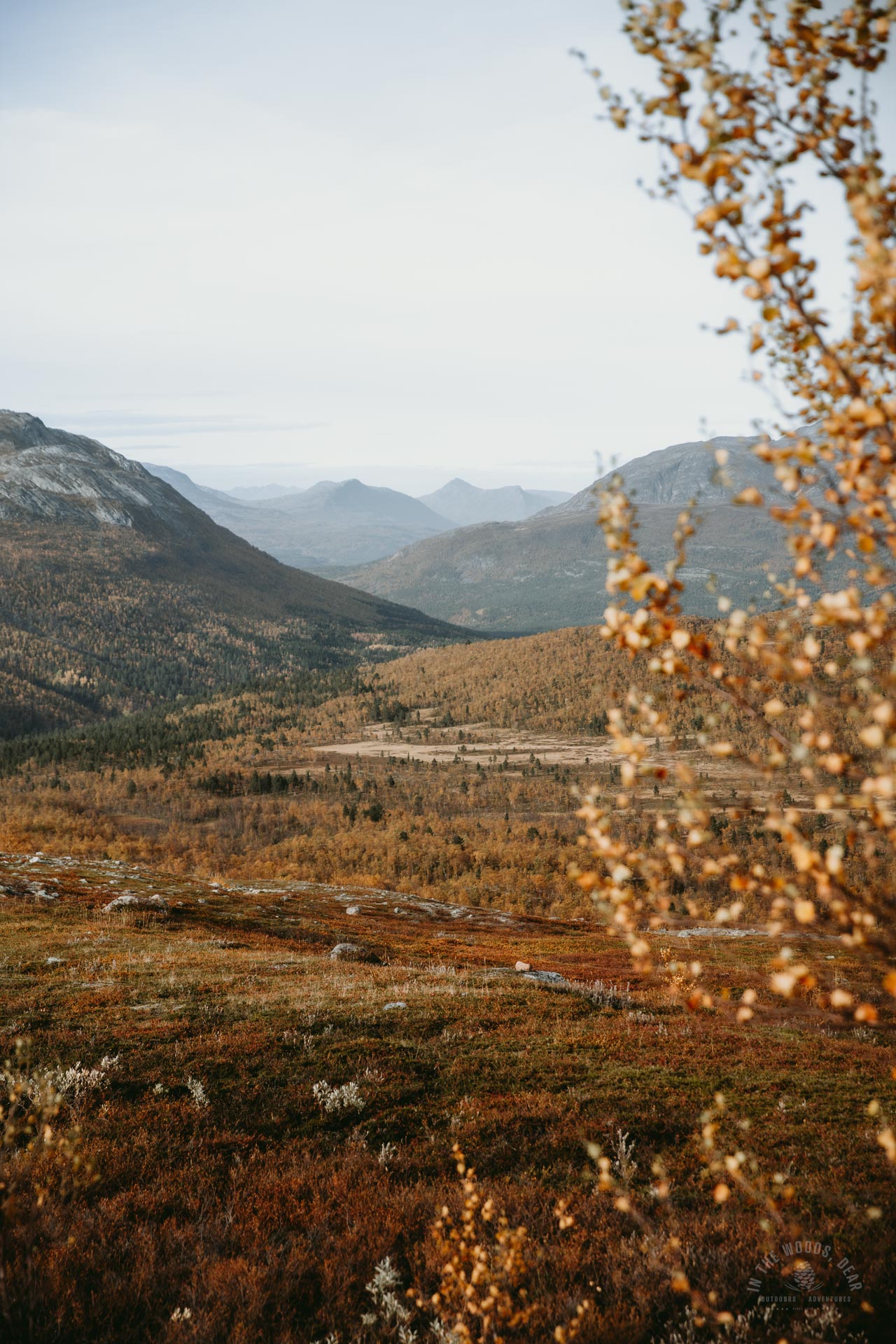
Kopmajoki - Somashytta, 4 km hike from Finland to Norway
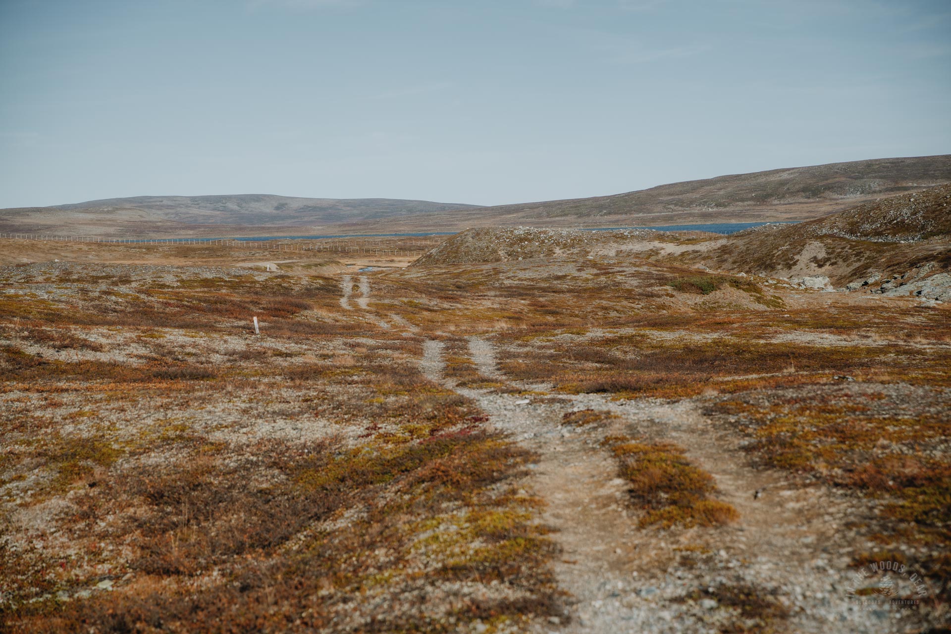
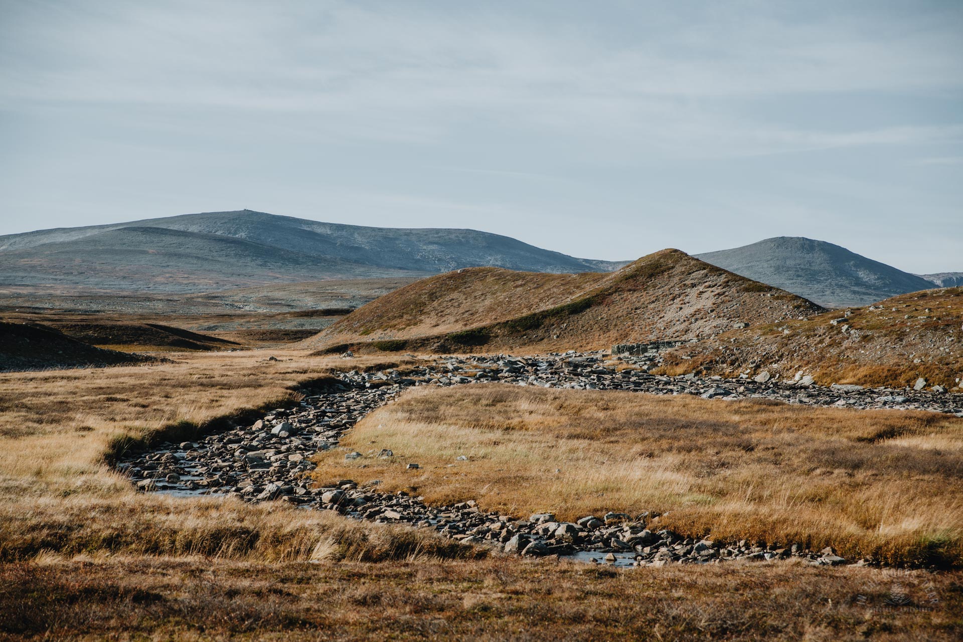
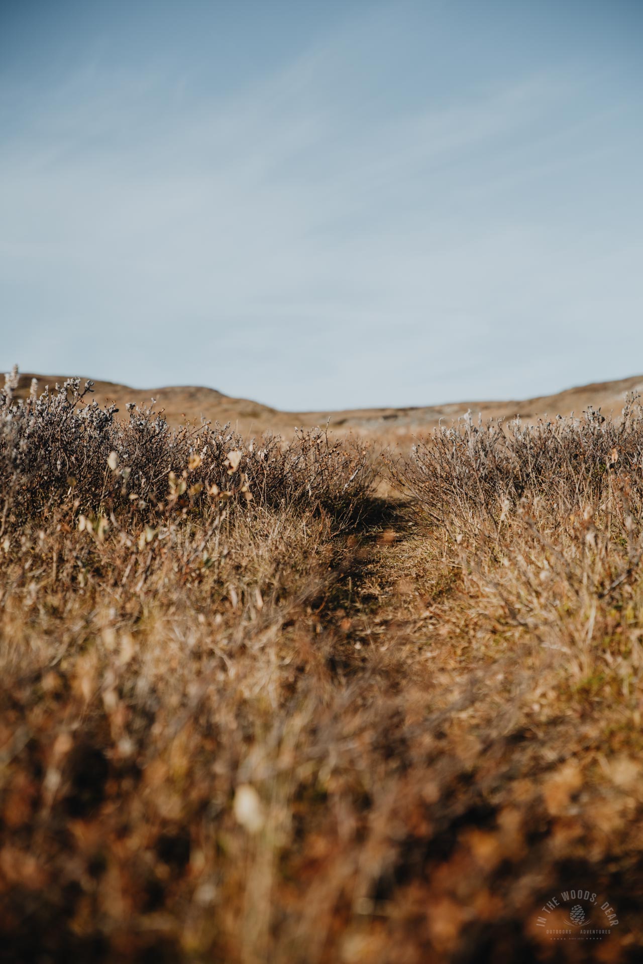
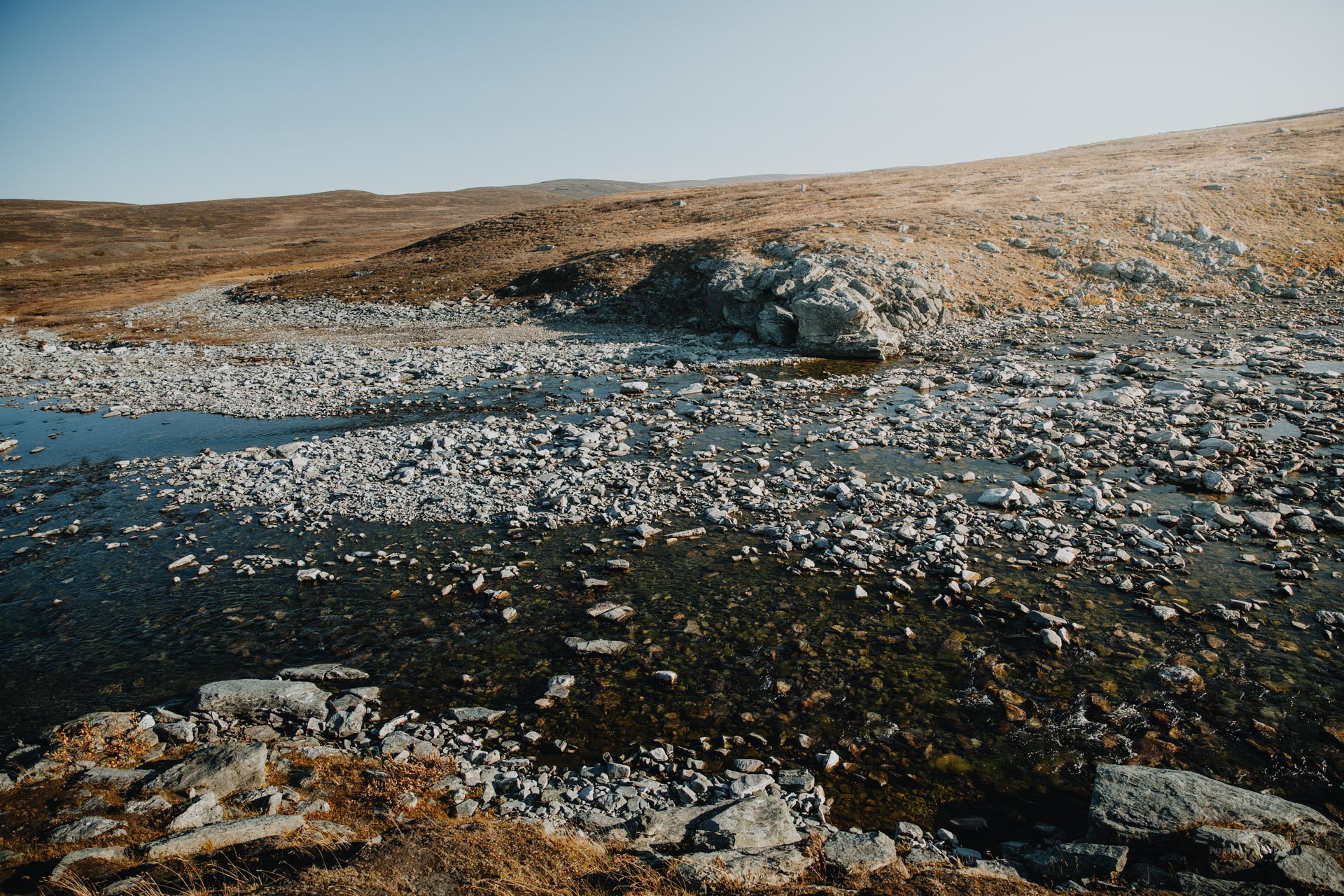
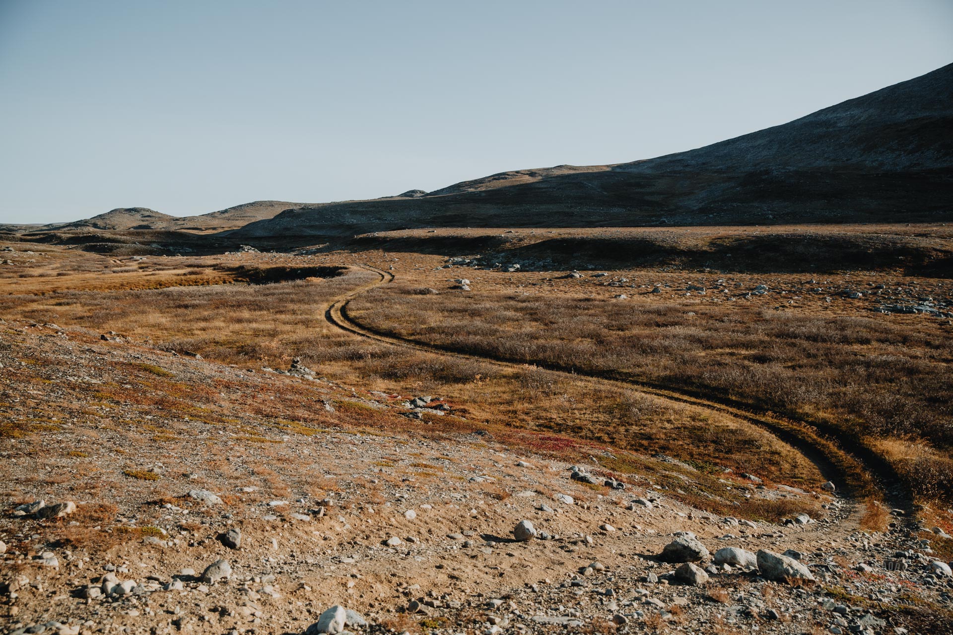
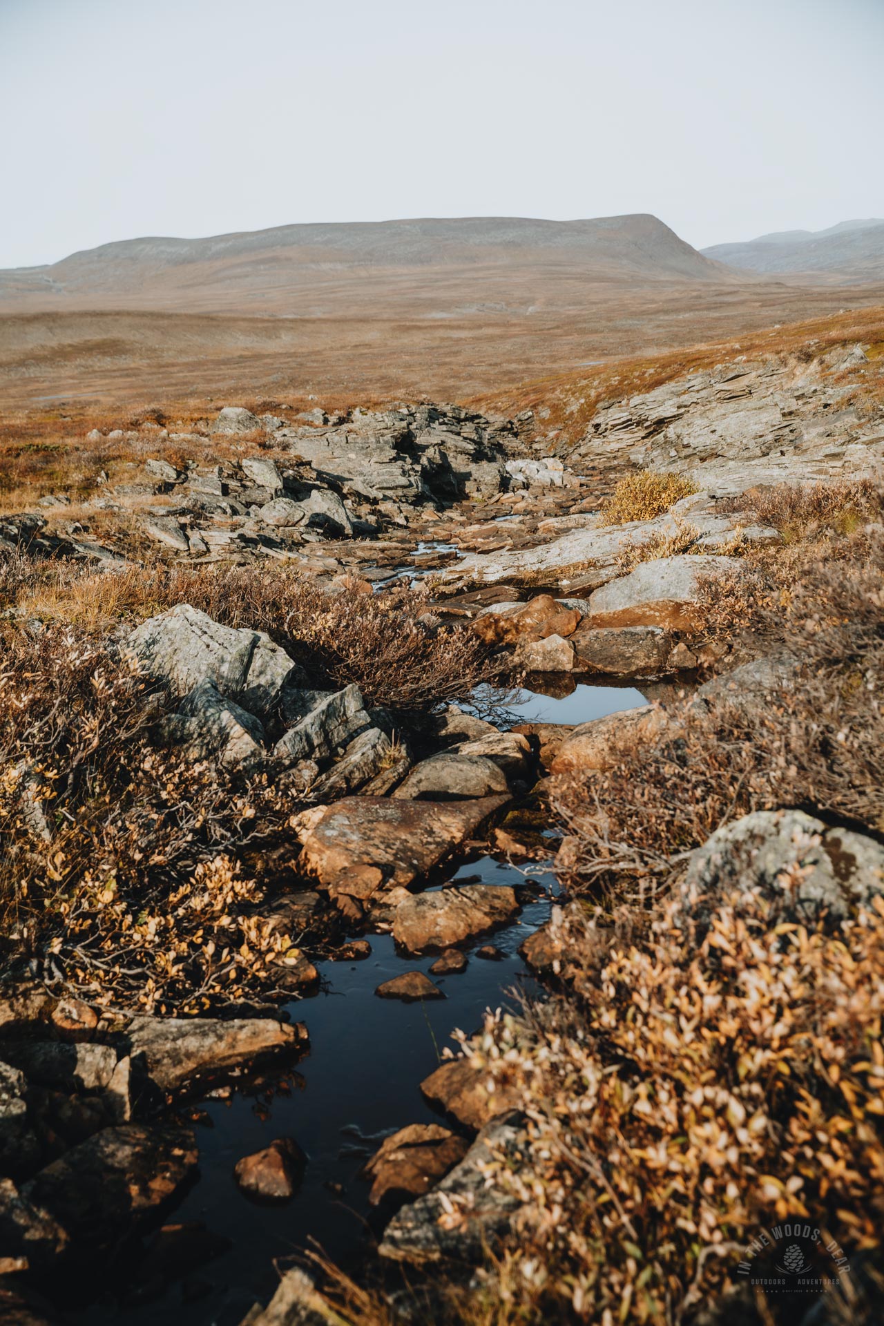
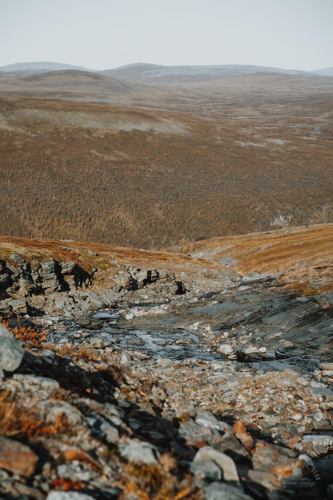
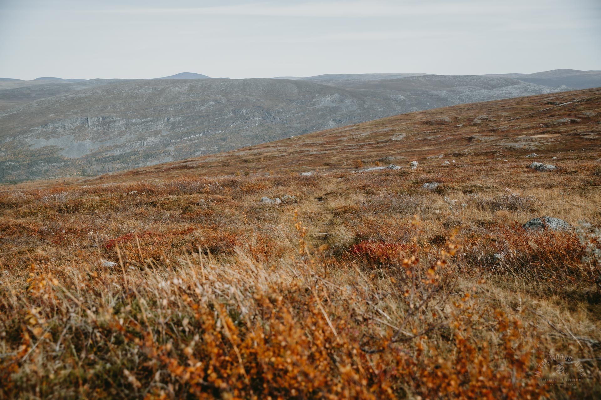
Behind the Kopmajoki hut, a wide gravel path continued towards the river-crossed hills. After the dry season, the trail was mostly rocks and dry riverbanks. At least the wide rivers were flowing. There were enough stones under the steps to cross the stream.
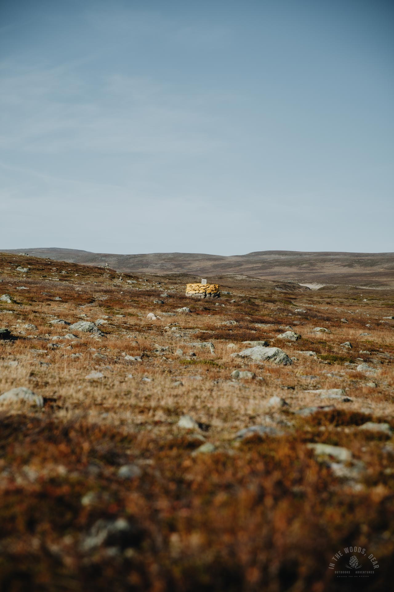
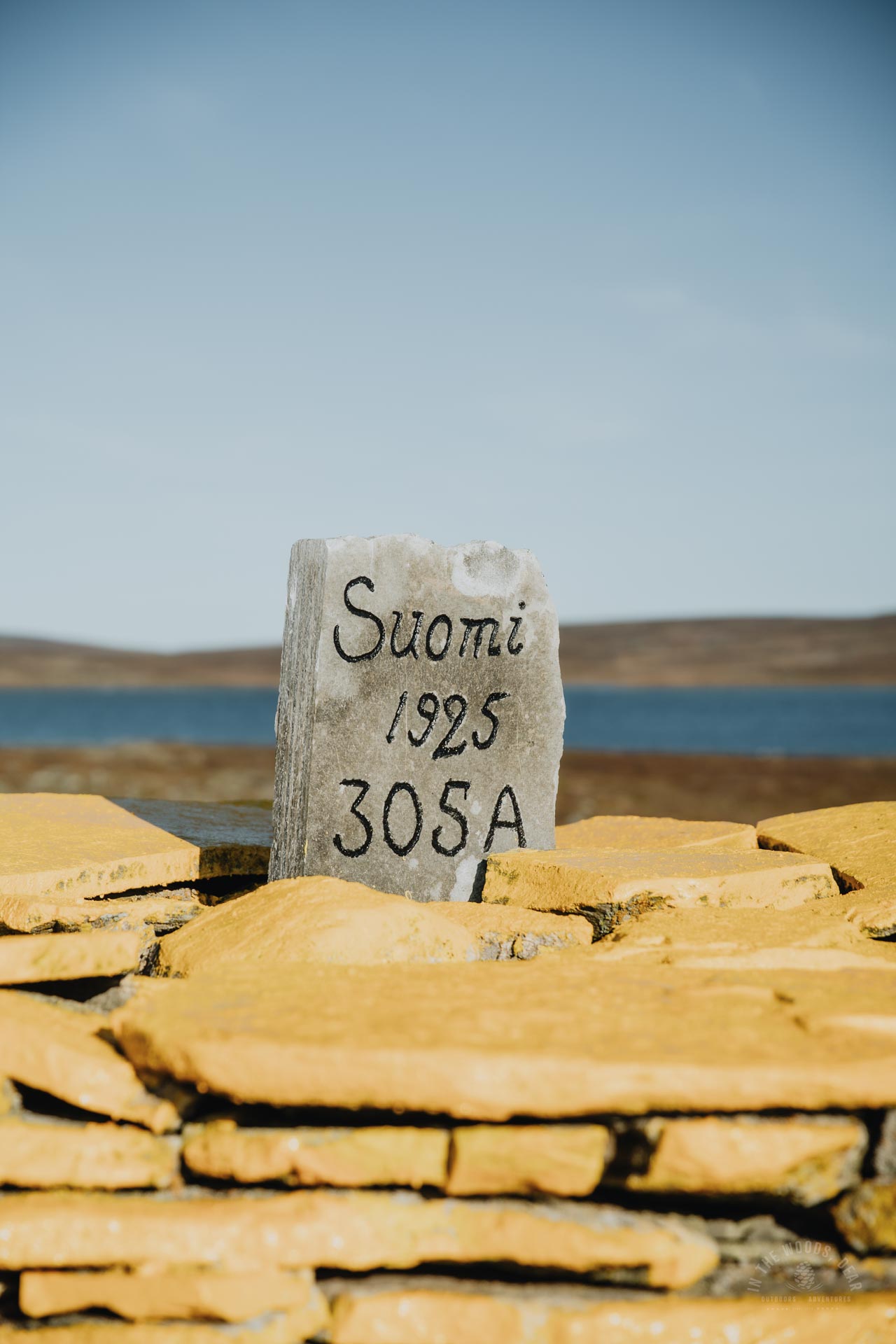
At the end of a kilometer's hike stood a greyed reindeer fence, long as the Great Wall of China. Even on the map, the reindeer fence continued in both directions, following the Finnish border far away.
The yellow-painted stones of the country cairn could be seen from a distance in the brownish grassland. I stepped from Finland into Norway and thought about the joy of living in the Nordic countries.
Driving from Kilpisjärvi towards Skibotn, the scenery changes quite a bit with the snap of a finger. Here, you didn't notice the change - the same ATV trail continued through the autumn tundra vegetation all the way to Somashytta.
Somashytta is a wilderness cabin for four people, accessible without a key. From the hut you can descend to the Rahpesjohka river, which is easy to wade. There are nice fireplaces on the slope and you can pitch a tent next to the beautiful scenery.
A dead bird lay in the courtyard, a still atmosphere surrounded the courtyard of Somashytta. I peeked in through the windows, the room was probably empty. I preferred the Kopmajoki hut.


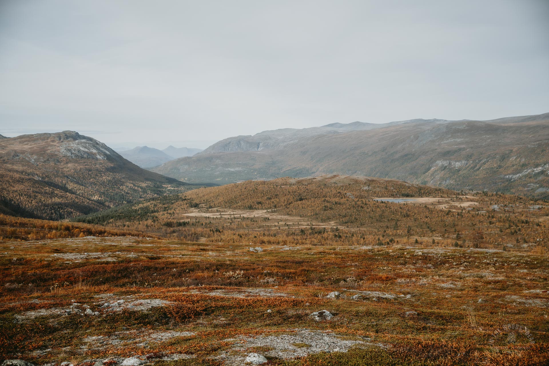
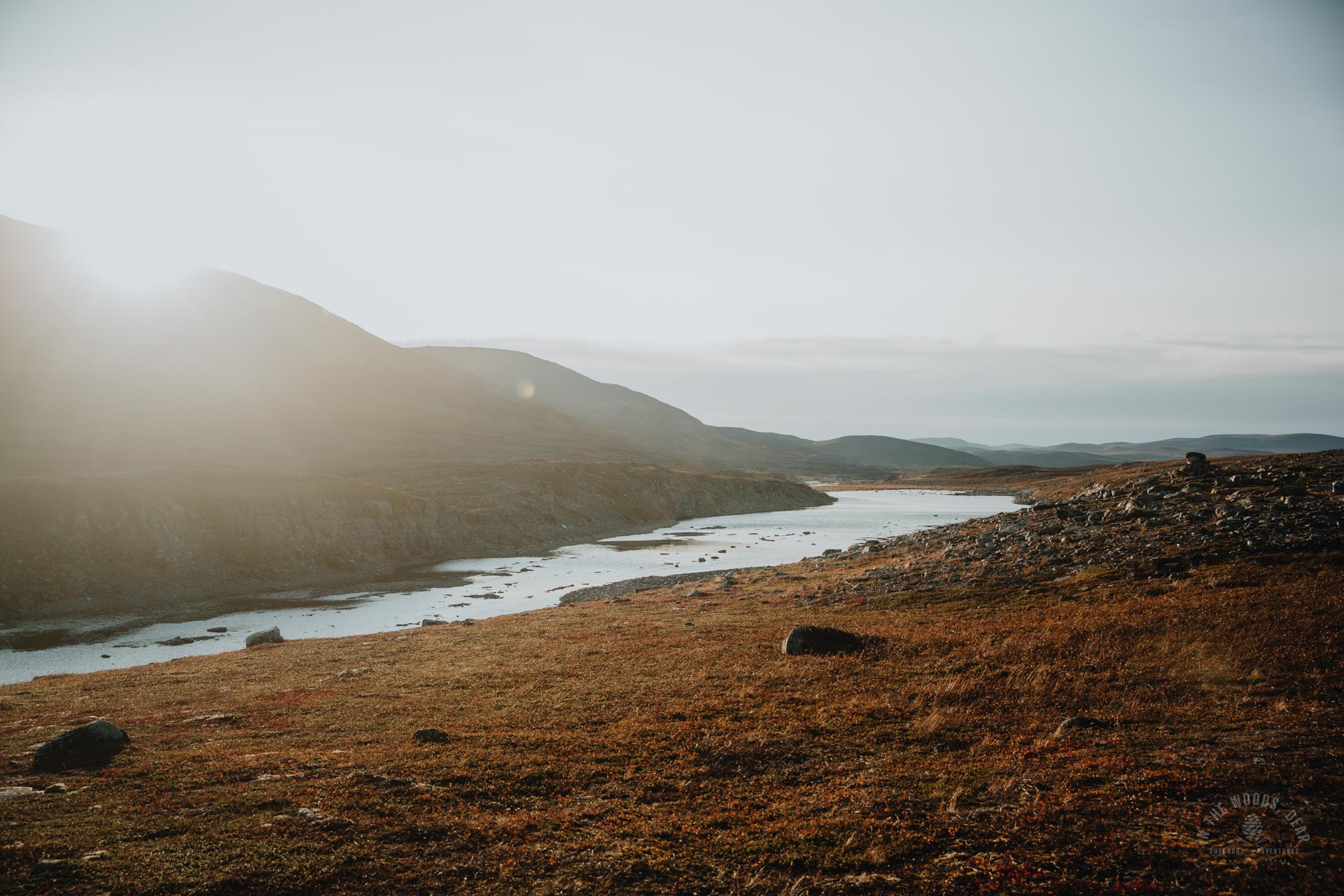
Hiking the Arctic Trail past Guolasjärvi and Halti
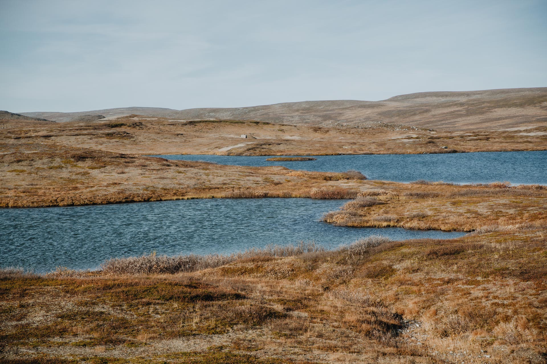
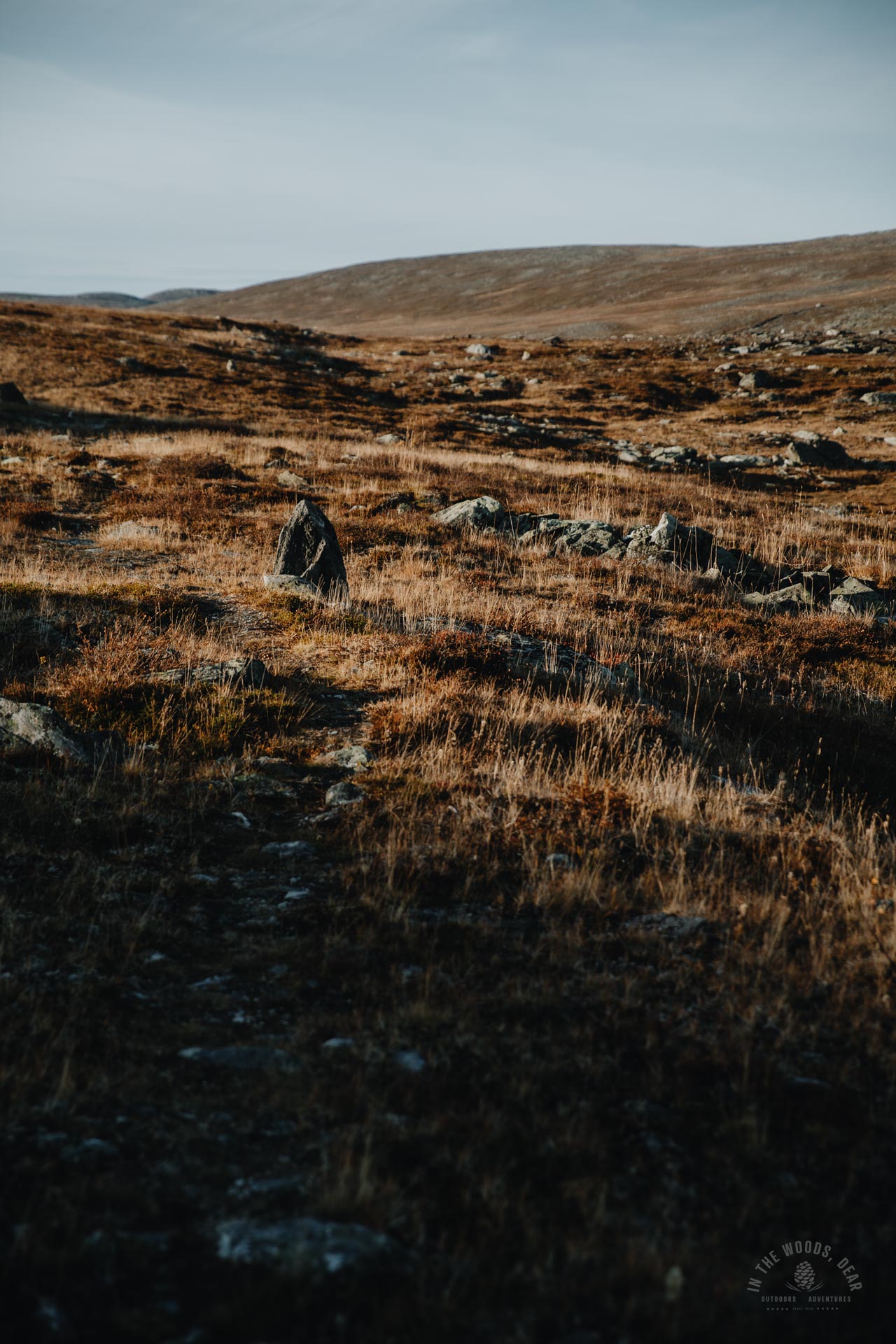
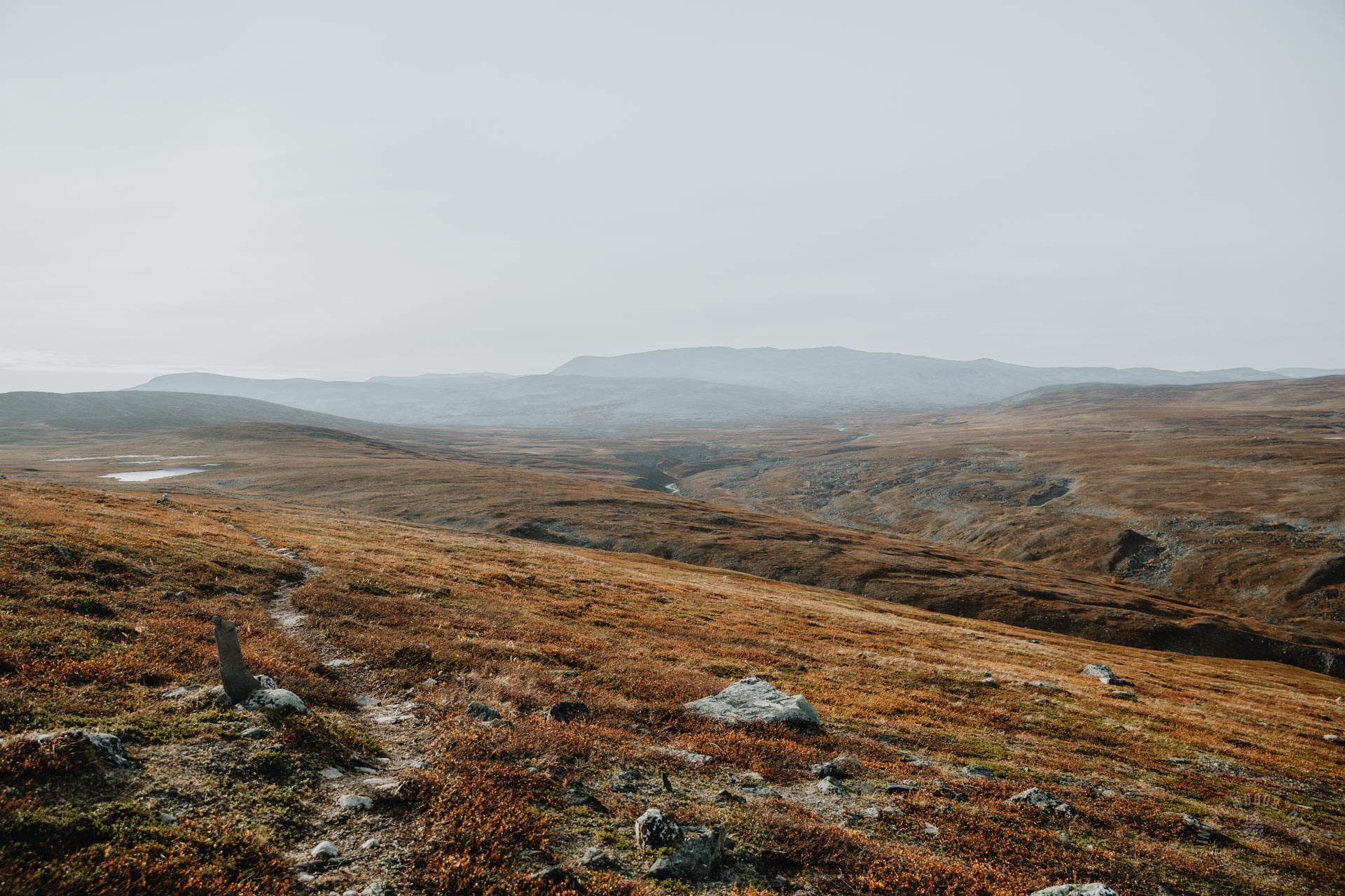
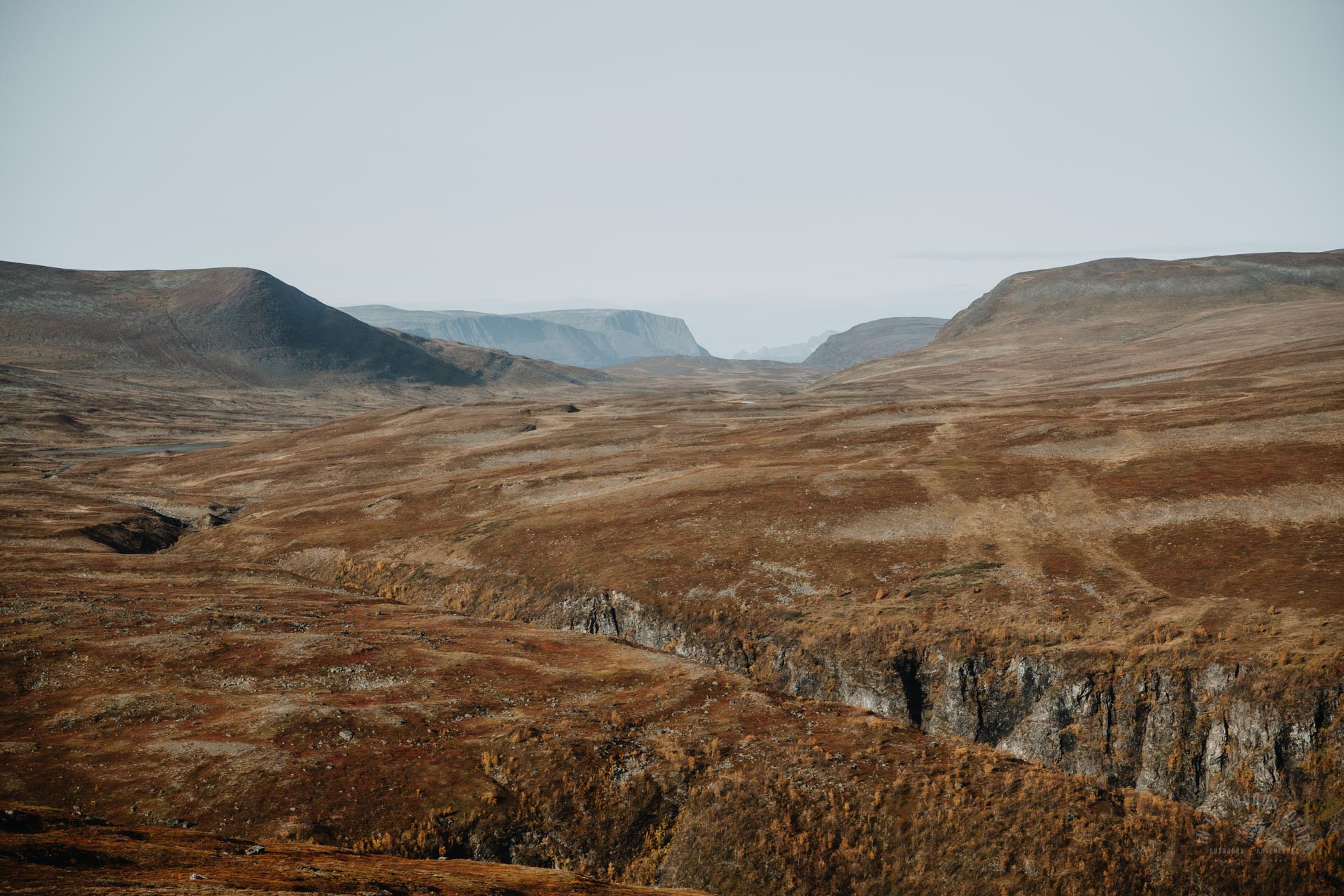
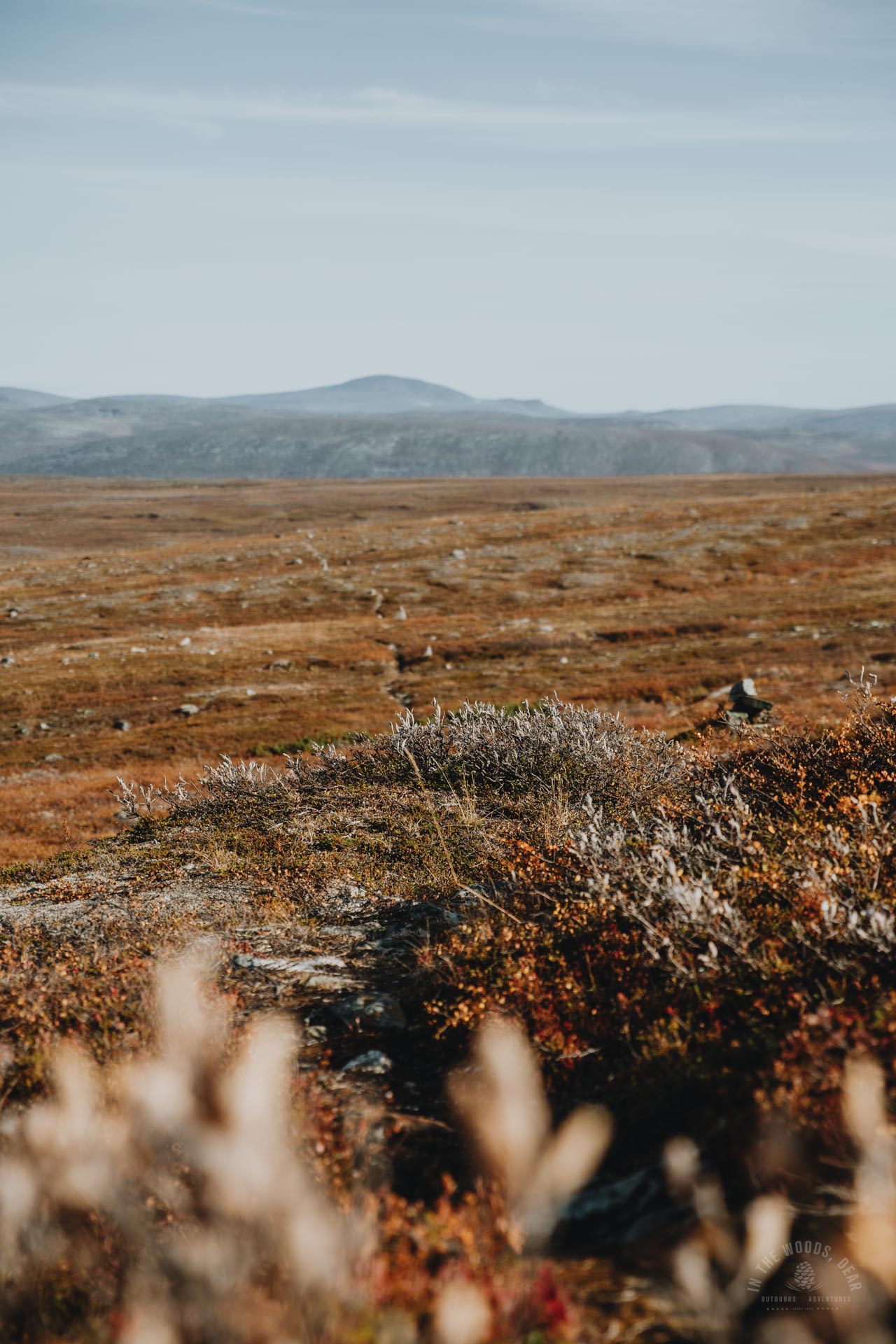
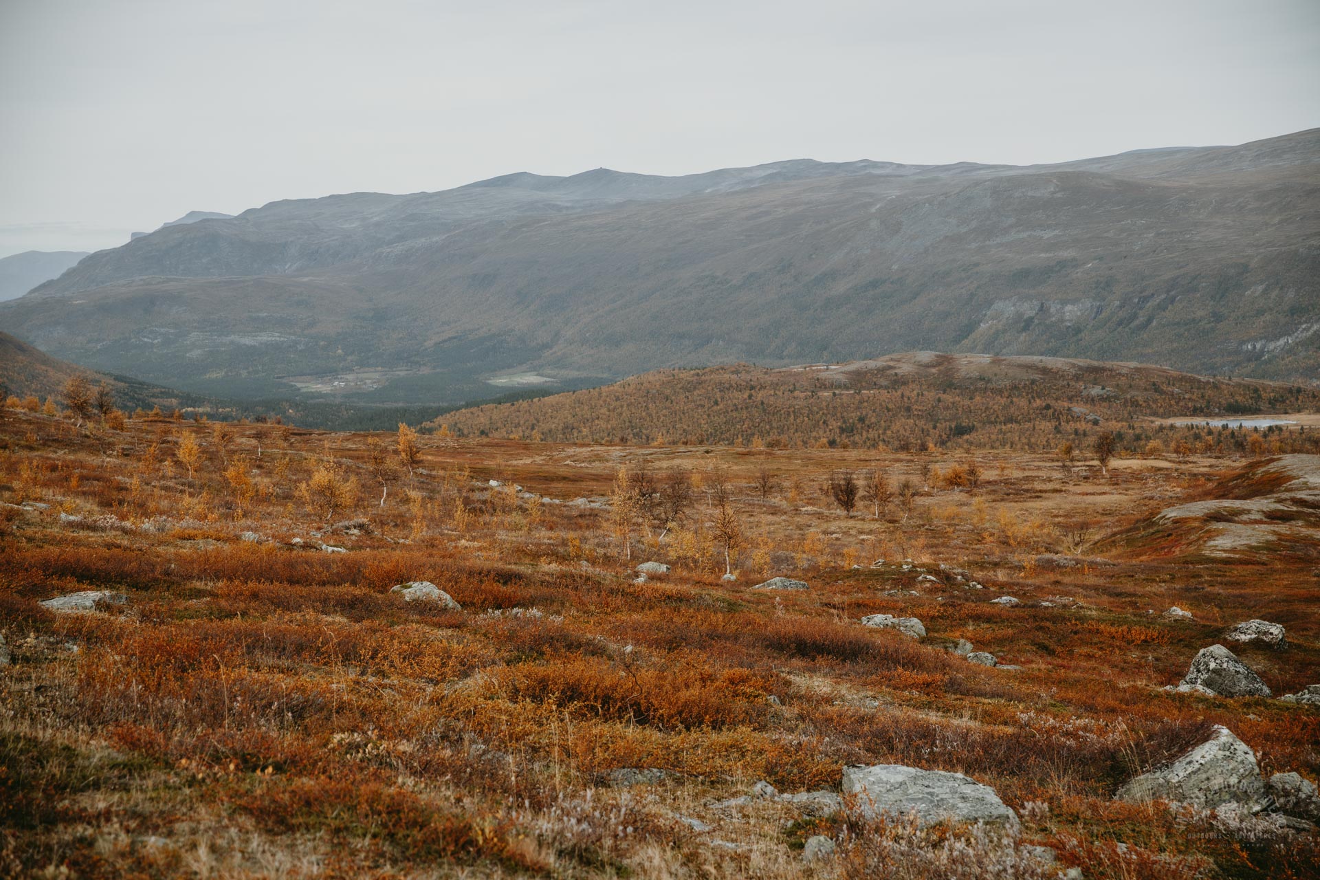
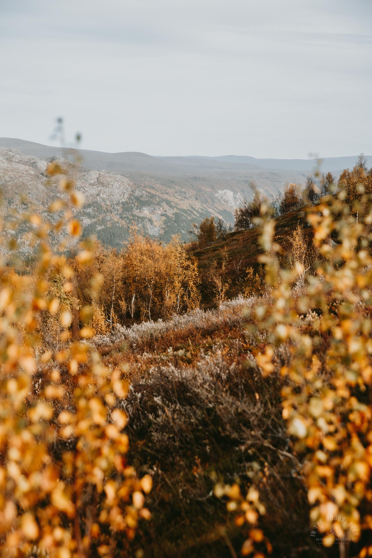
From Somashytta, the hike continued in the fells along the Rahpesjohka river towards the Coalbmejavrrit lakes. The scenery became more hilly as I approached the fells. The area looked barren and very wilderness-like.
Rahpesjohka river makes a 90-degree turn a couple of kilometres down the trail. The wading spot is at a wide and rocky point. At low water, there was no need to take off shoes on this river either.
On the left, behind Nealgecohkka and Háldi Nuorttamus Cohkka, Raisduottarháldi - and Finland's own highest point, Halti- rose higher than the rest of the terrain. In the spring I went skiing to Halti.
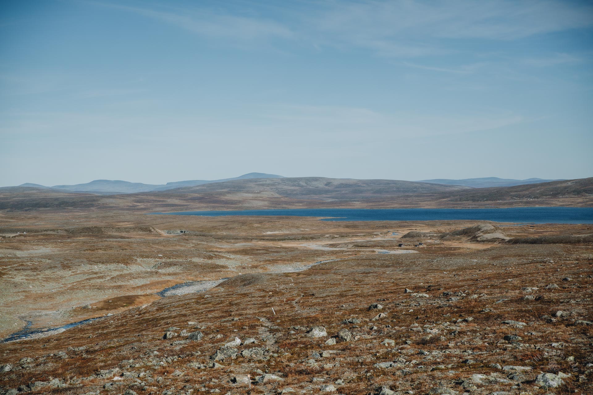
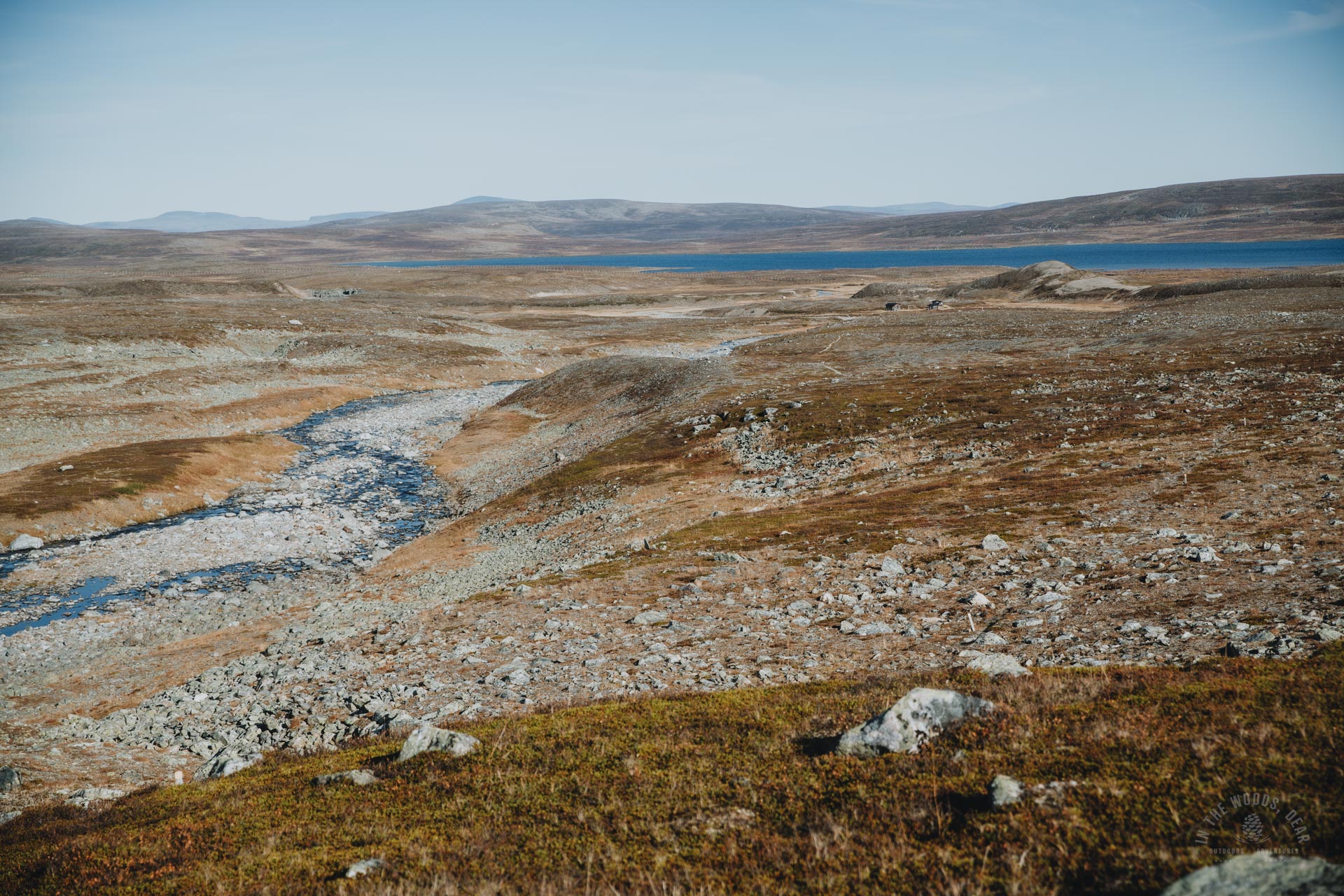
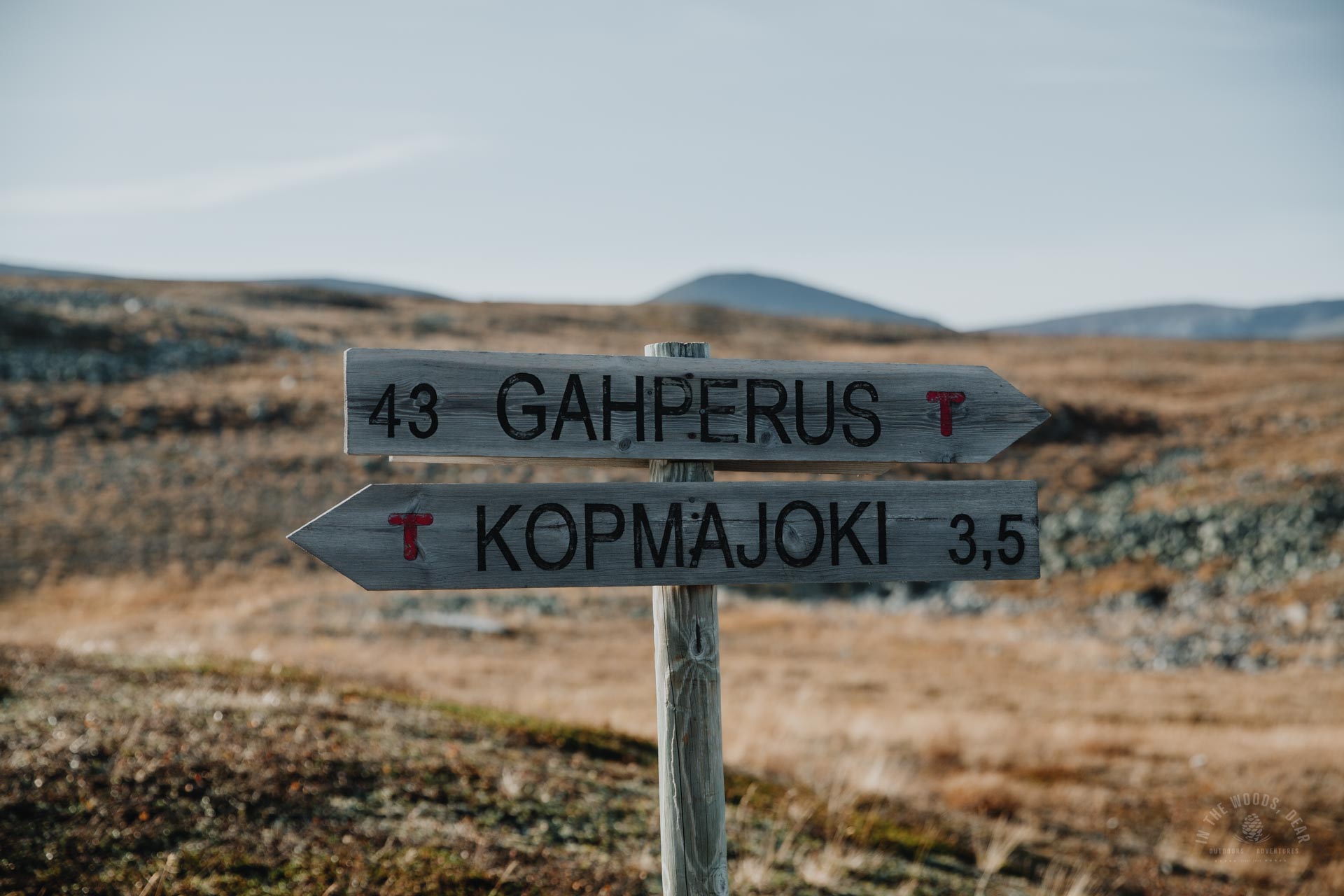
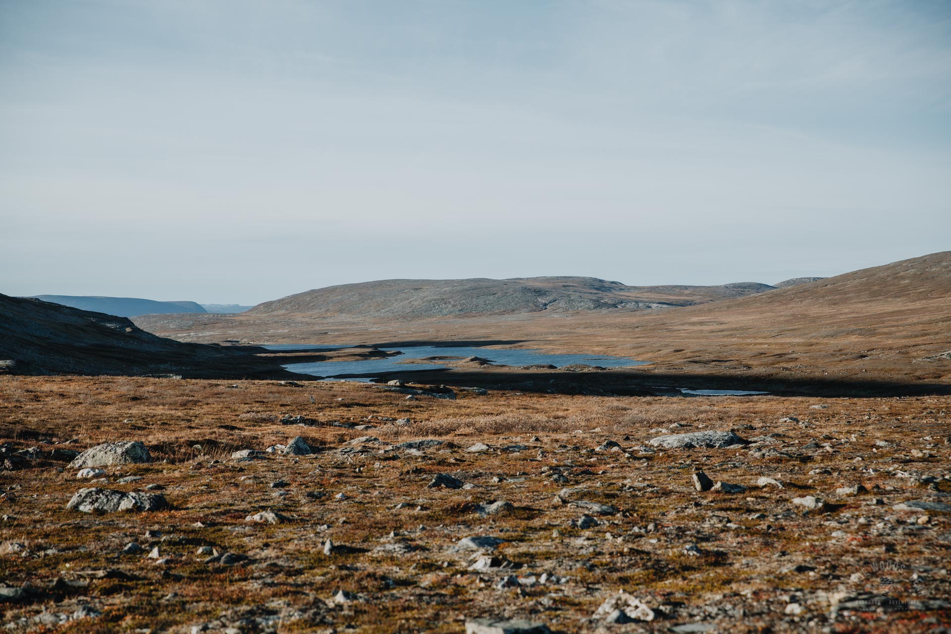
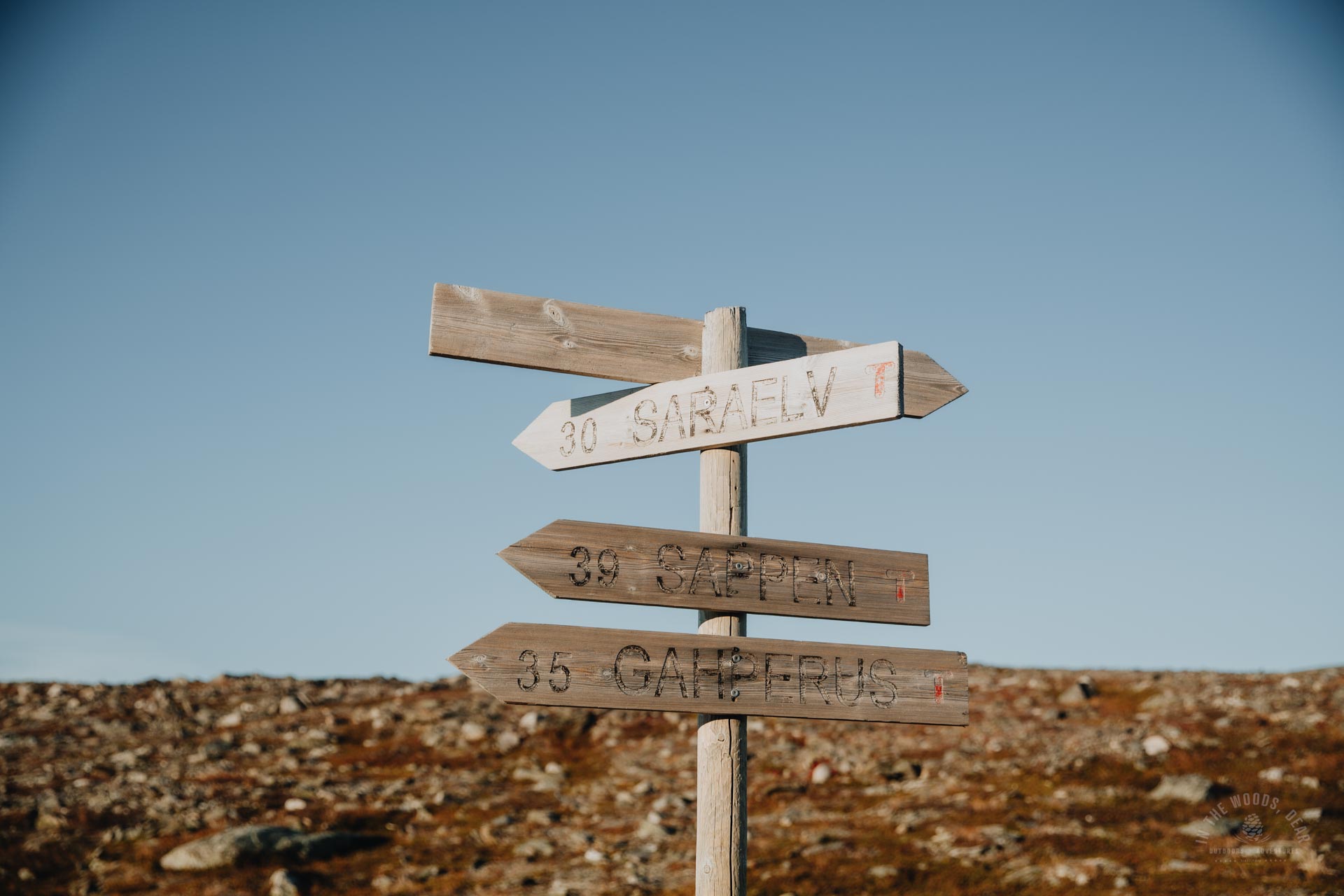
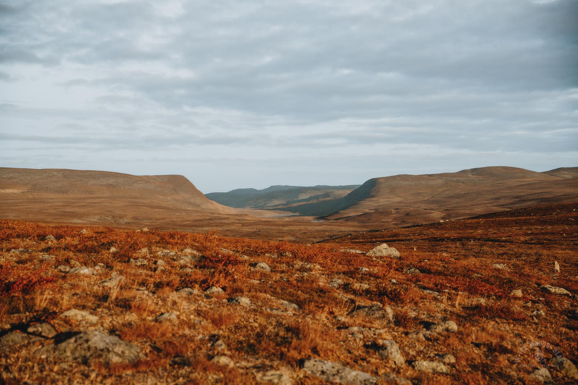
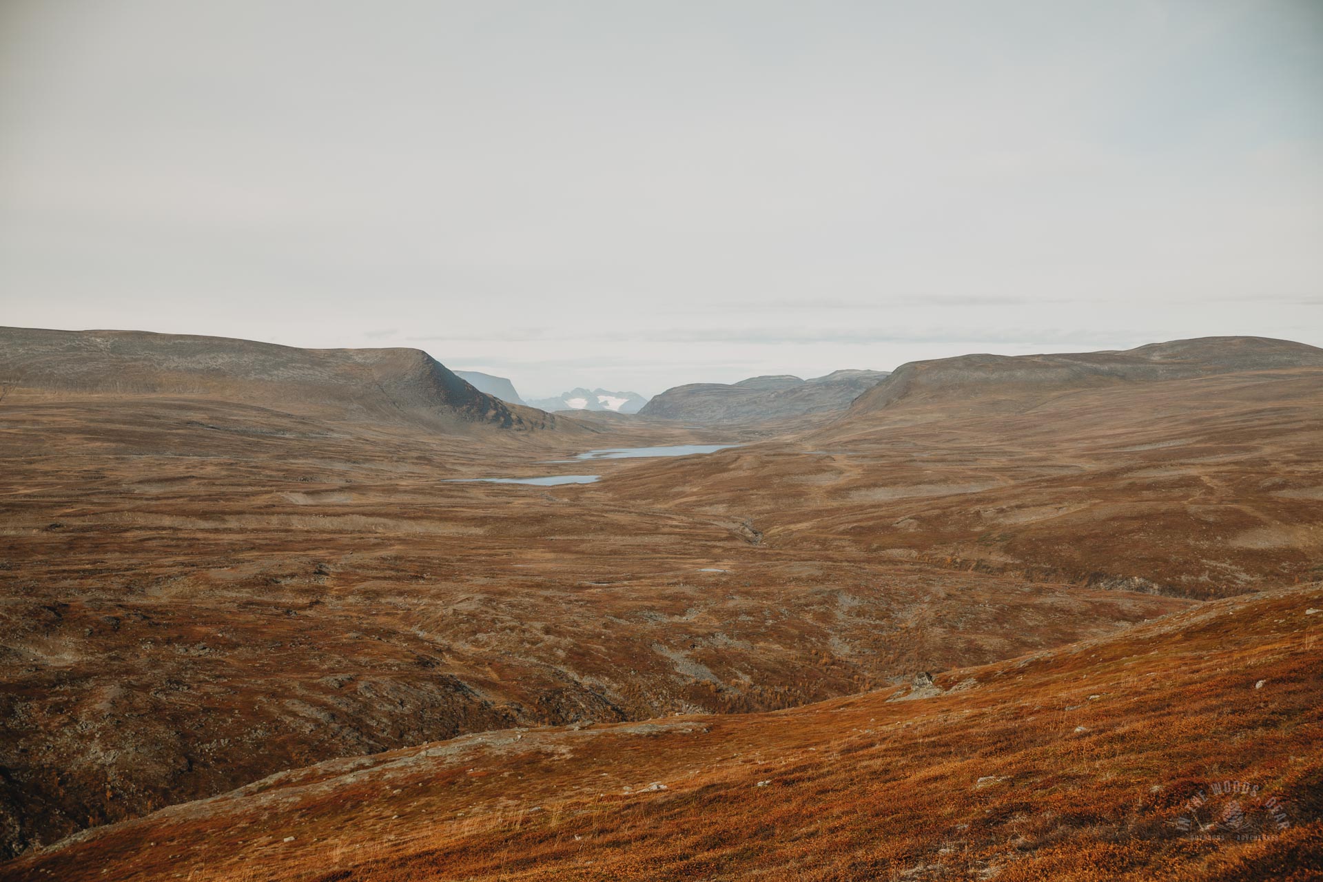
On my right, along the Arctic Trail, the border of Reisa National Park ran for several kilometres. At Jeartneoaivi, the border of the national park was less than two kilometres away. From there, you could have taken a shortcut to Cárajávri and Saraelva and continued to Nordkalottstua.
On the shore of the Coalbmejávrrit lakes, the land was flat, rock-free grass. The evening sun gilded the mountain landscape with incredibly warm hues. I sat down on the rocks for a drink break and was tempted by the idea of pitching a tent and taking a dip.
It was still 30 kilometres to Saraelv, according to the signpost, so I had to keep going. In a warm and sunny evening, the hike would be nice anyway.


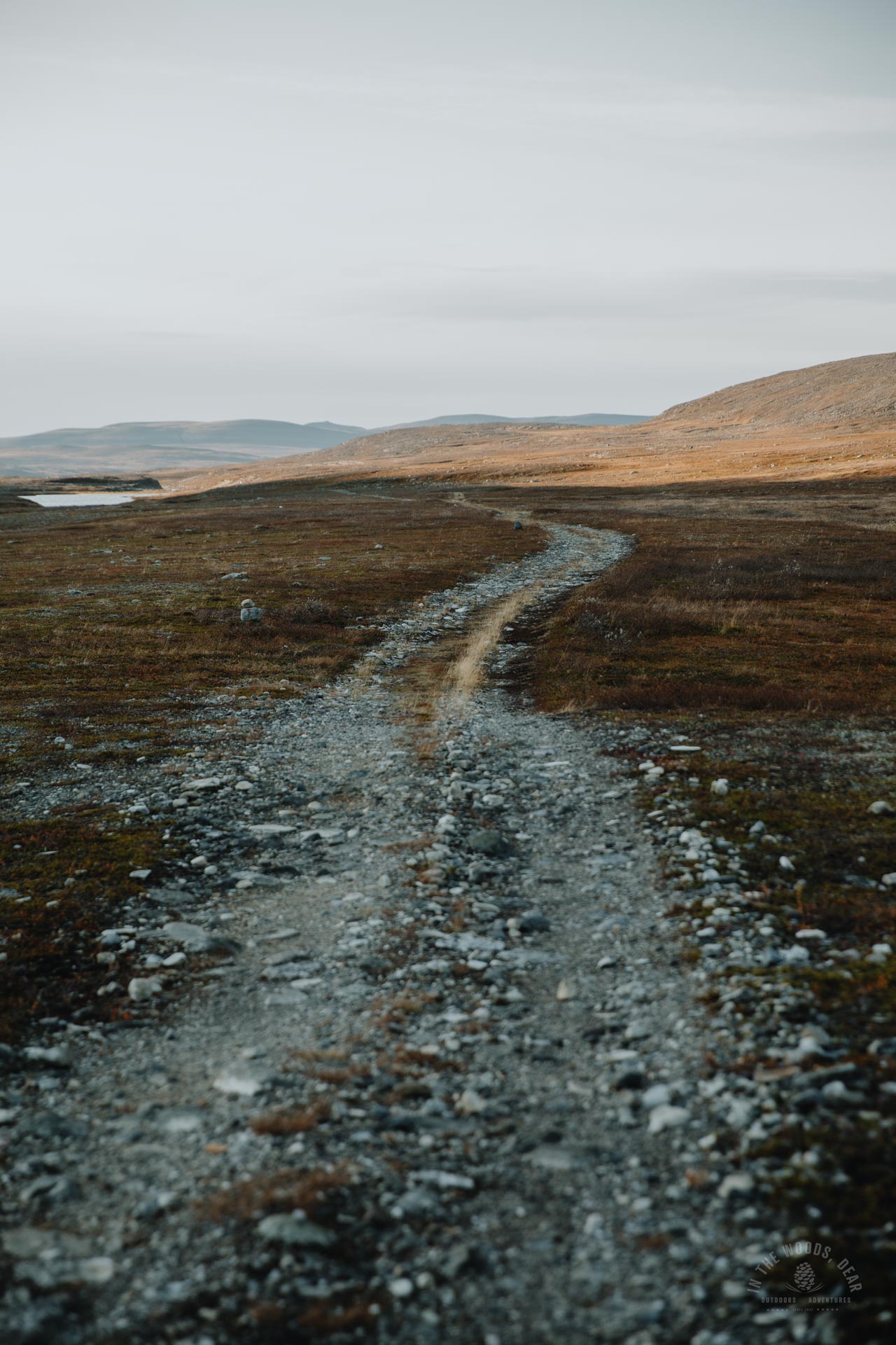
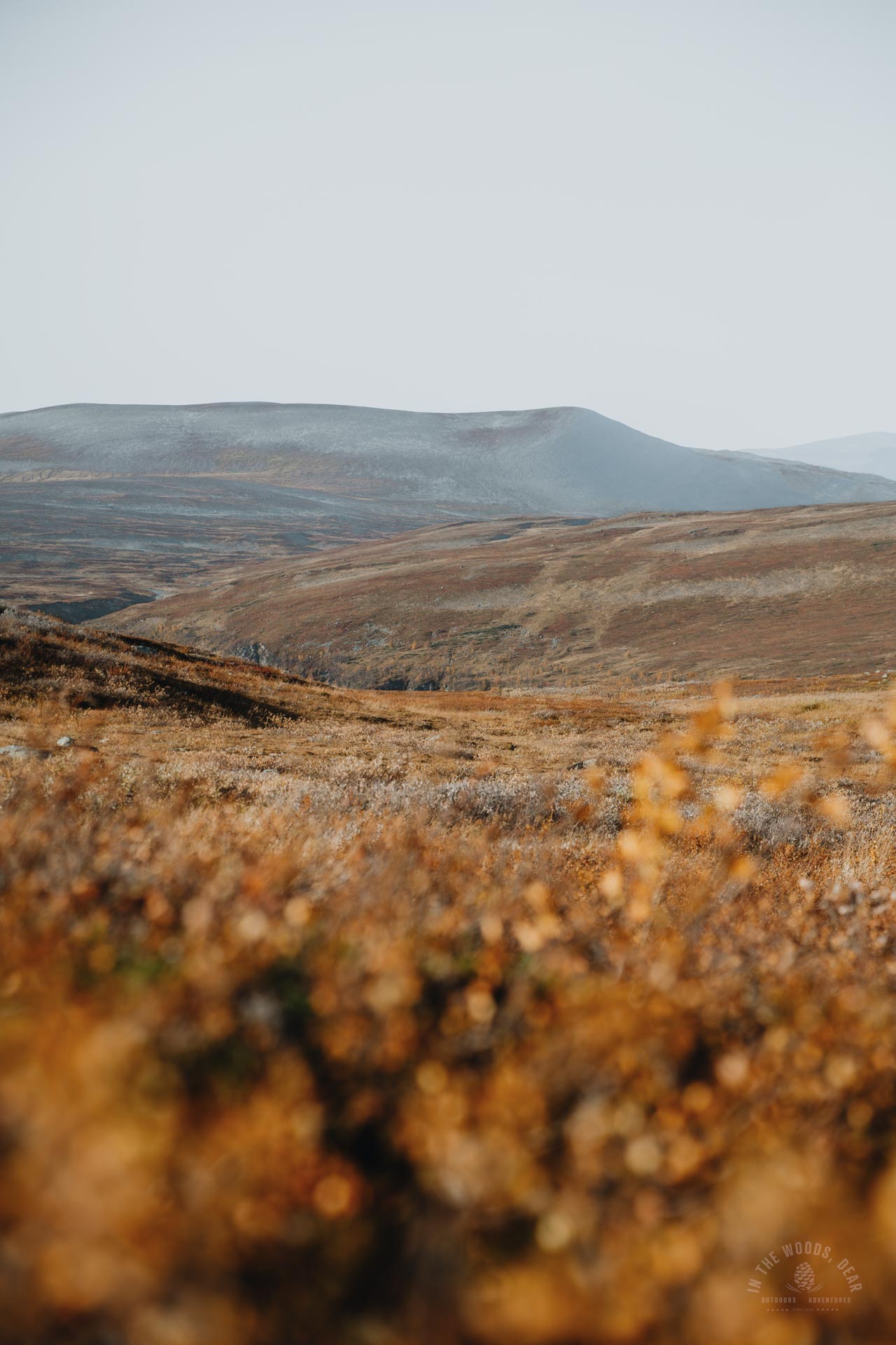
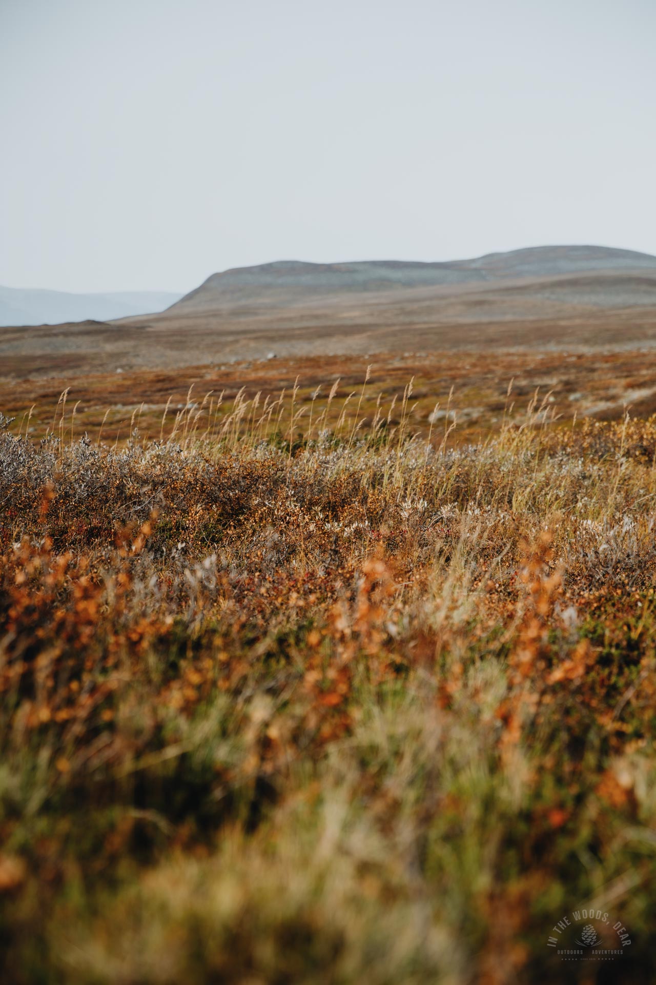
The trail was flat and easy to follow. The gravel path and the ATV track would have been boring to walk if the scenery hadn't looked so beautiful. The flat terrain gradually began to rise gently up the slopes of Unna Gulpooaivvas and Stuora Gulpooaivi.
The sun began to sink behind the mountains, red changing to shades of blue. Lake Guolasjávri was just far enough behind the hills that you couldn't see the lake from the Arctic Trail. Instead, the silvery ribbon of the Biedjojohka river glimmered on the still darkening hillside.
After the Coalbejavvrit lakes, there were not many good campsites to be found. In fact, the terrain had become increasingly lumpy and damp as the journey progressed. The slope was also steep.
I planned to camp at the south-west corner of the Skaidecohhka, where the trail ran alongside two small lakes. The Ciknajohka river flowed between the lakes, and fresh water would be available. I hurried my steps so I wouldn't have to pitch my tent in the dark.
I arrived at the first lake at dusk. The shore was nothing but marsh, willow and puddles. There was nothing to do but keep going. Fortunately, the marsh gradually turned into drier land at the next lake.
The shores of the second lake were steep and rocky. I had to hike to the other end of the lake before I found a grassy patch a couple of metres wide, with no sharp stones sticking out in the middle.
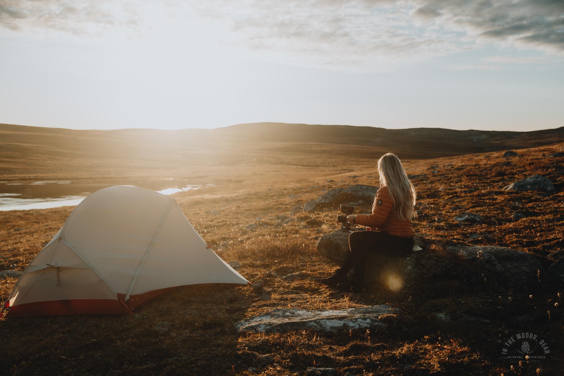
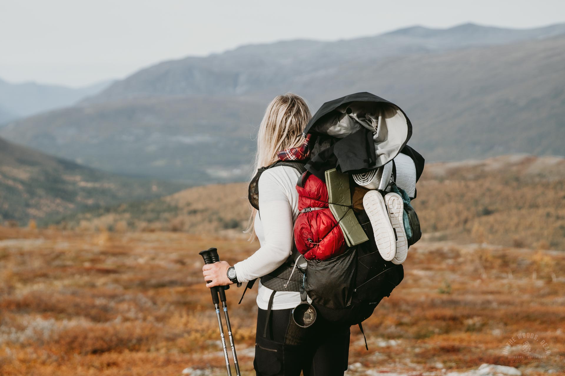
My tent was adventurously a little skewed again, but I slept soundly with a warm outdoor meal in my stomach after more than 32 kilometres of hiking.


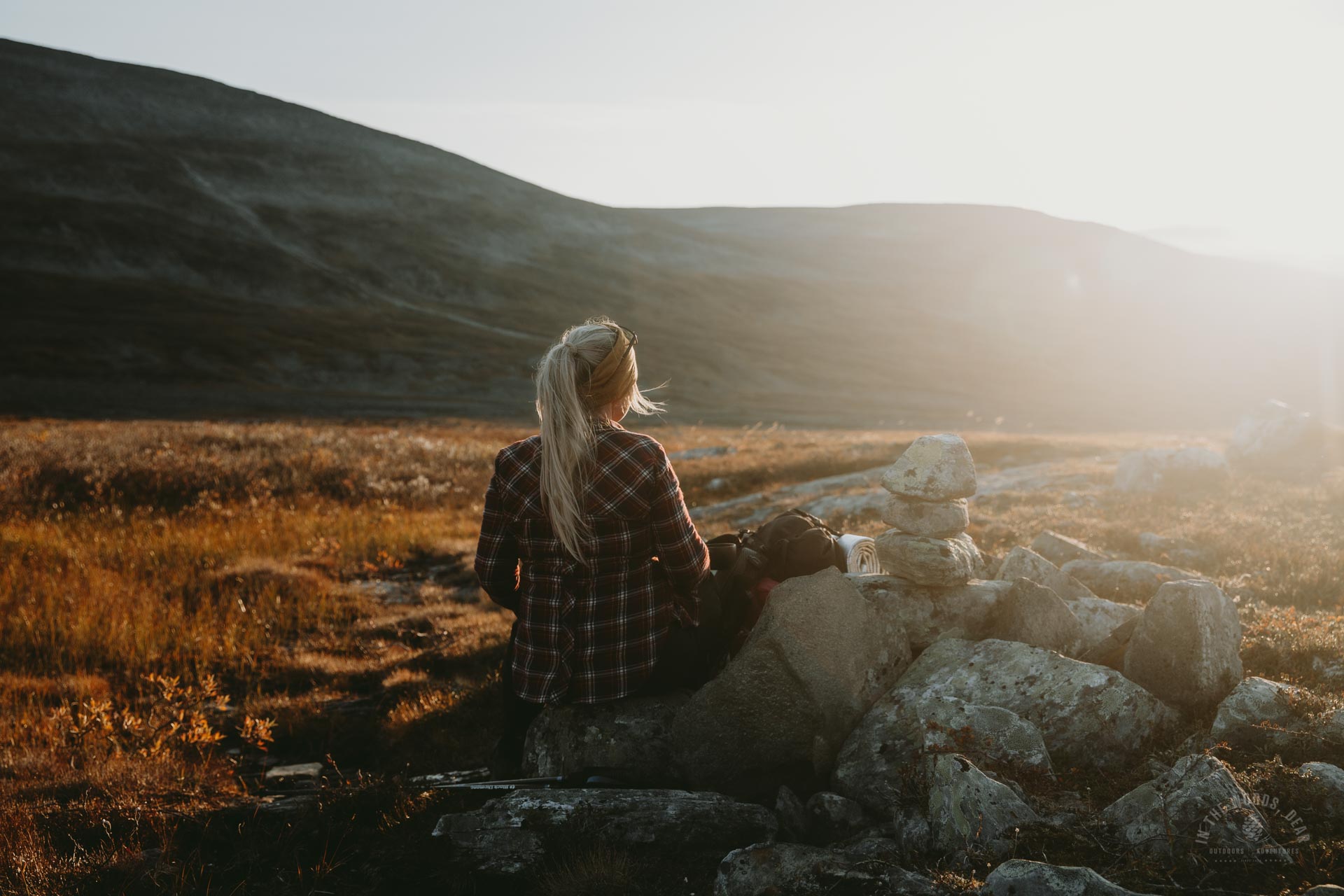
In the morning sun on the Arctic trail
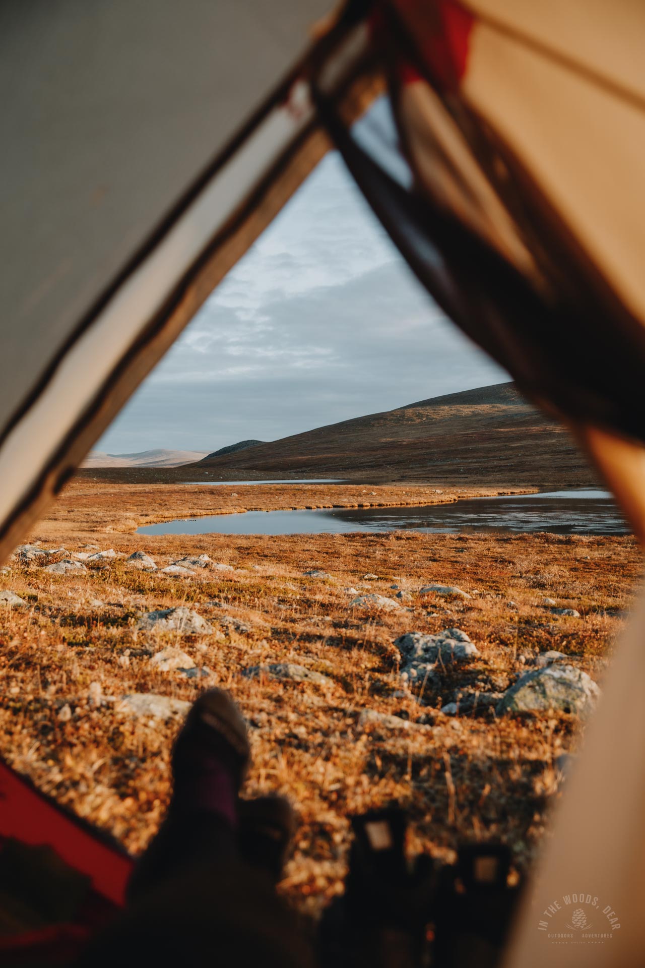
In mid-September, the sun rose around 6am local time. I tried to get up early, too. Next to the tent rested a nice flat rock that served as kitchen, table and bench.
In the light, I could finally see what a great place I had found at dusk. The lake water was relatively clear, but the bottom was muddy and boggy and full of sharp stones. I had dreamed of taking a dip, but it had to wait for another time.
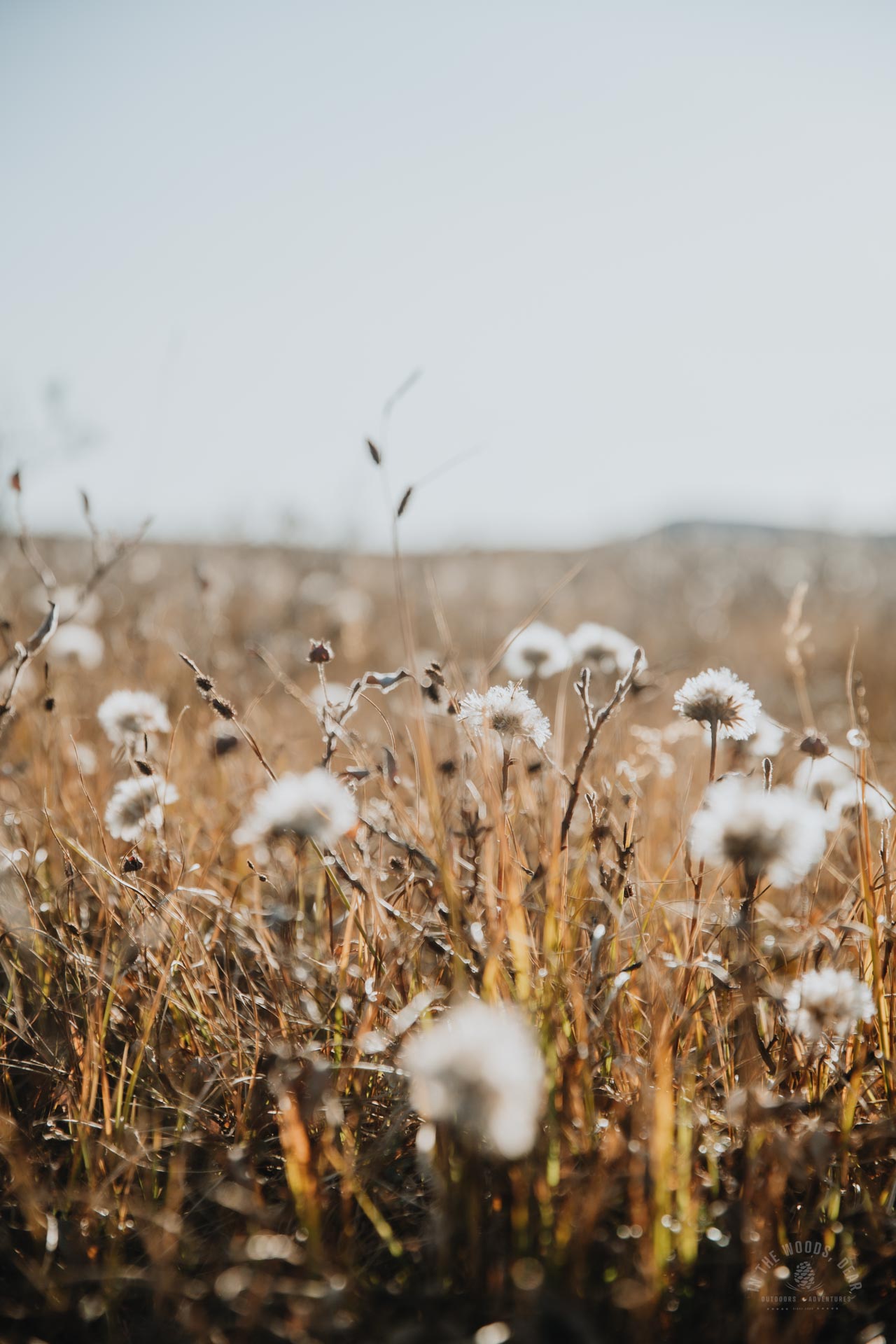
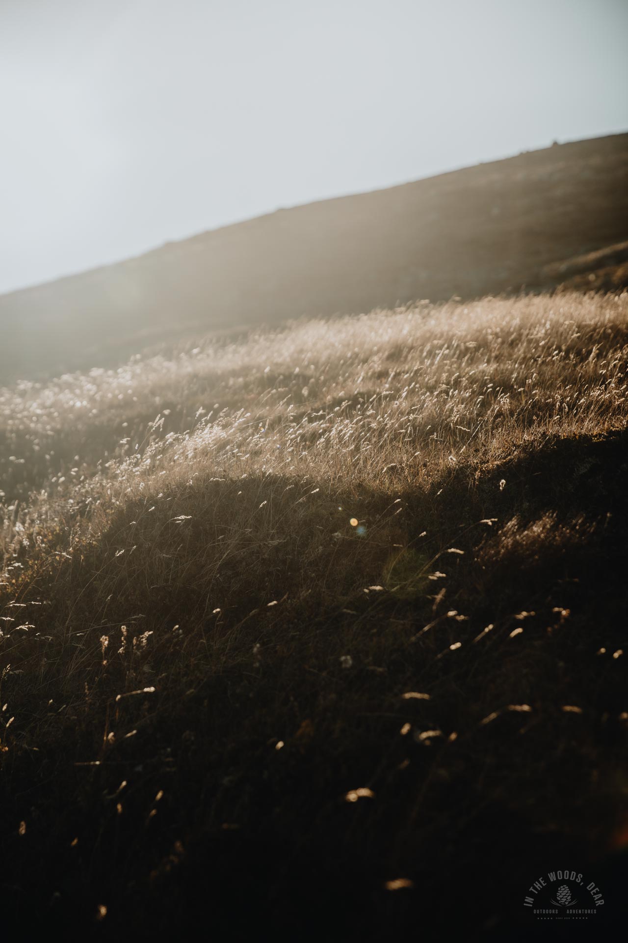
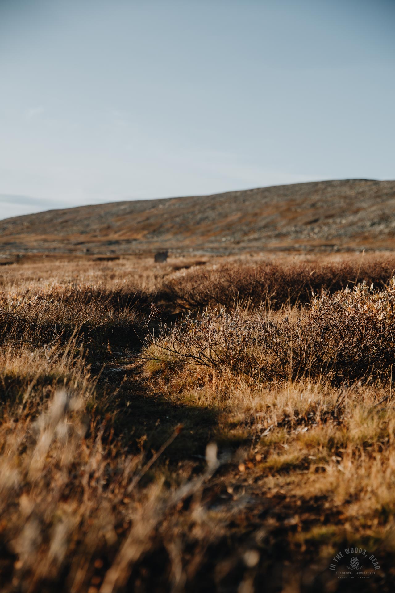
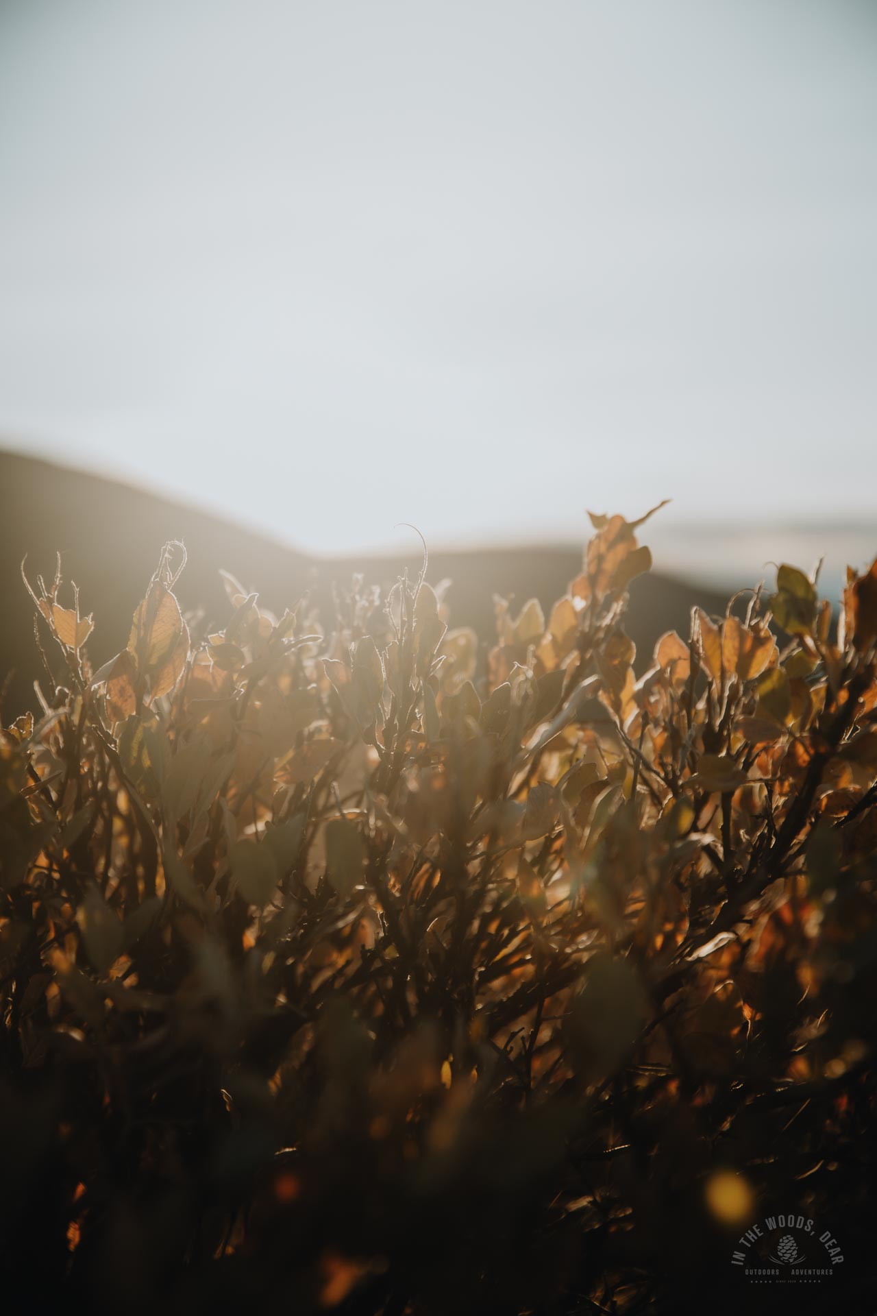
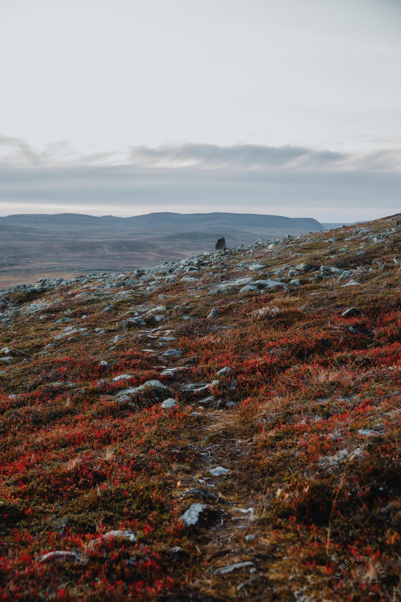
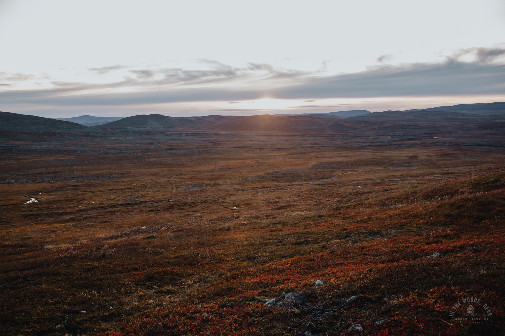
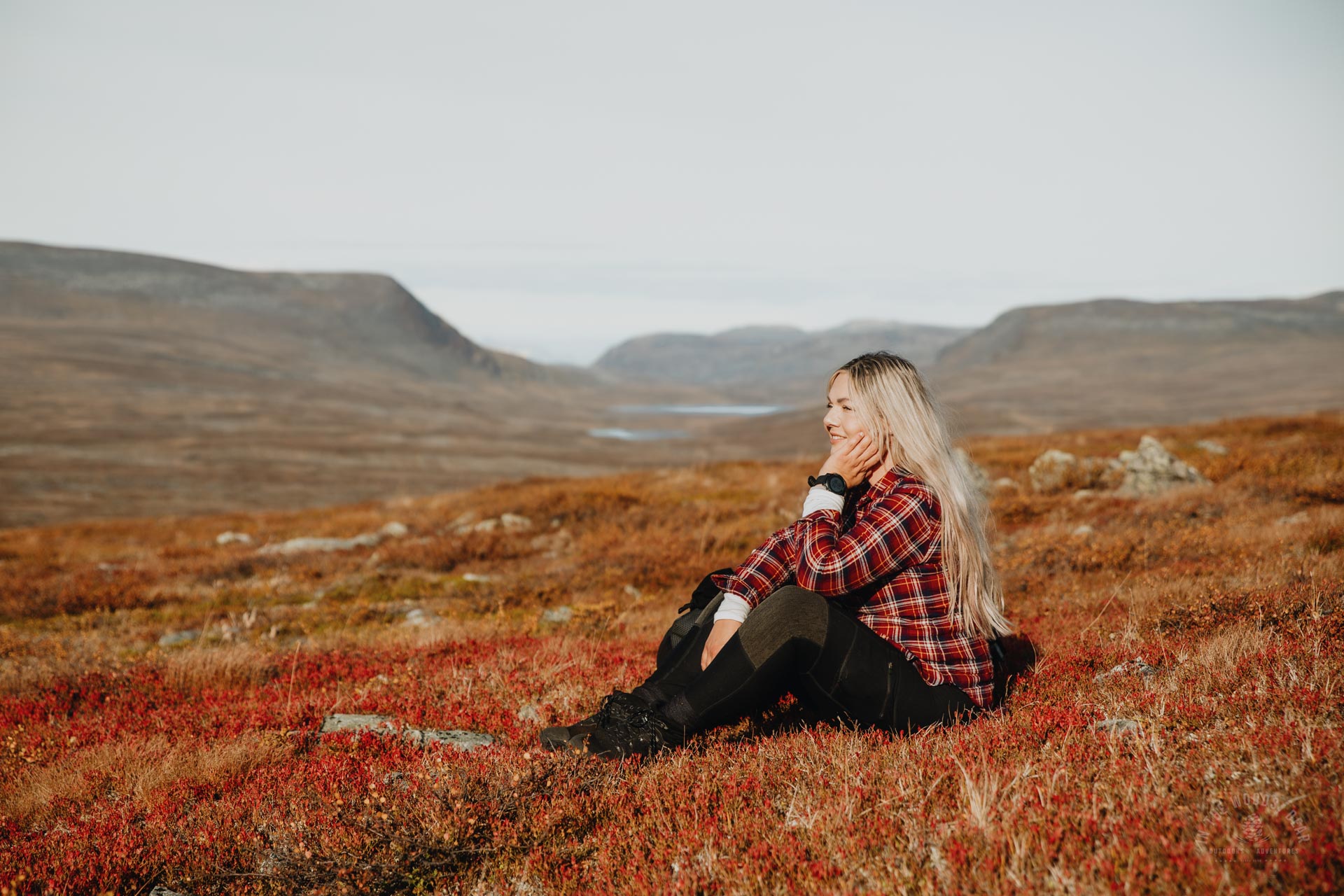
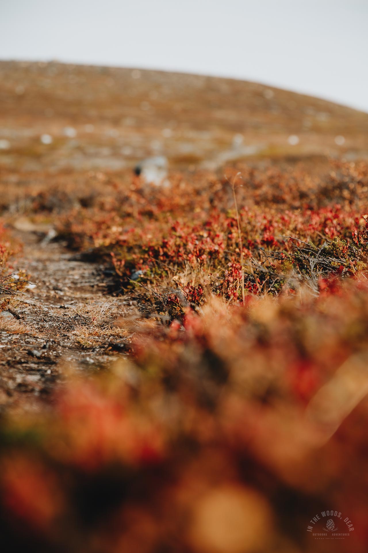
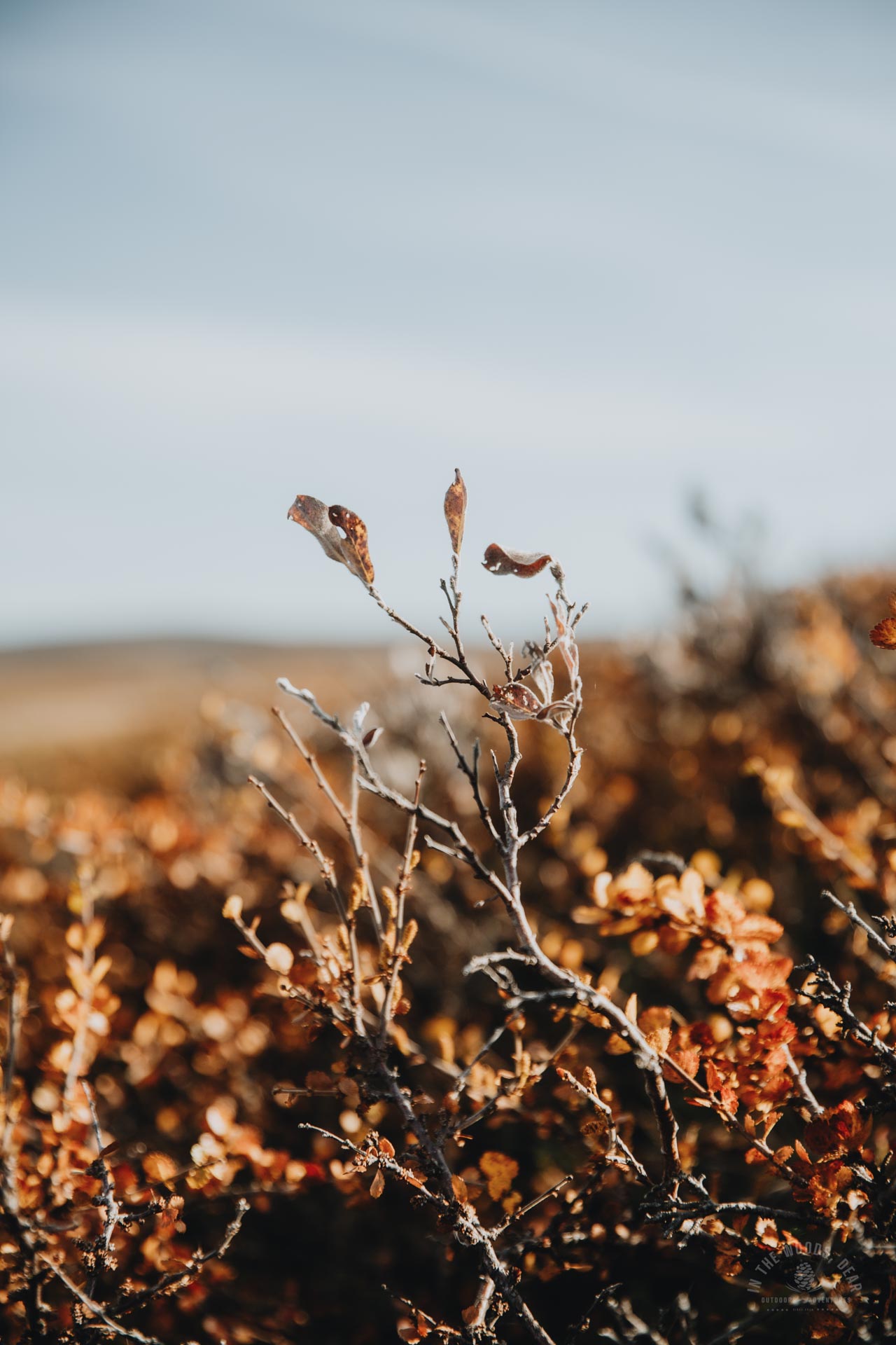
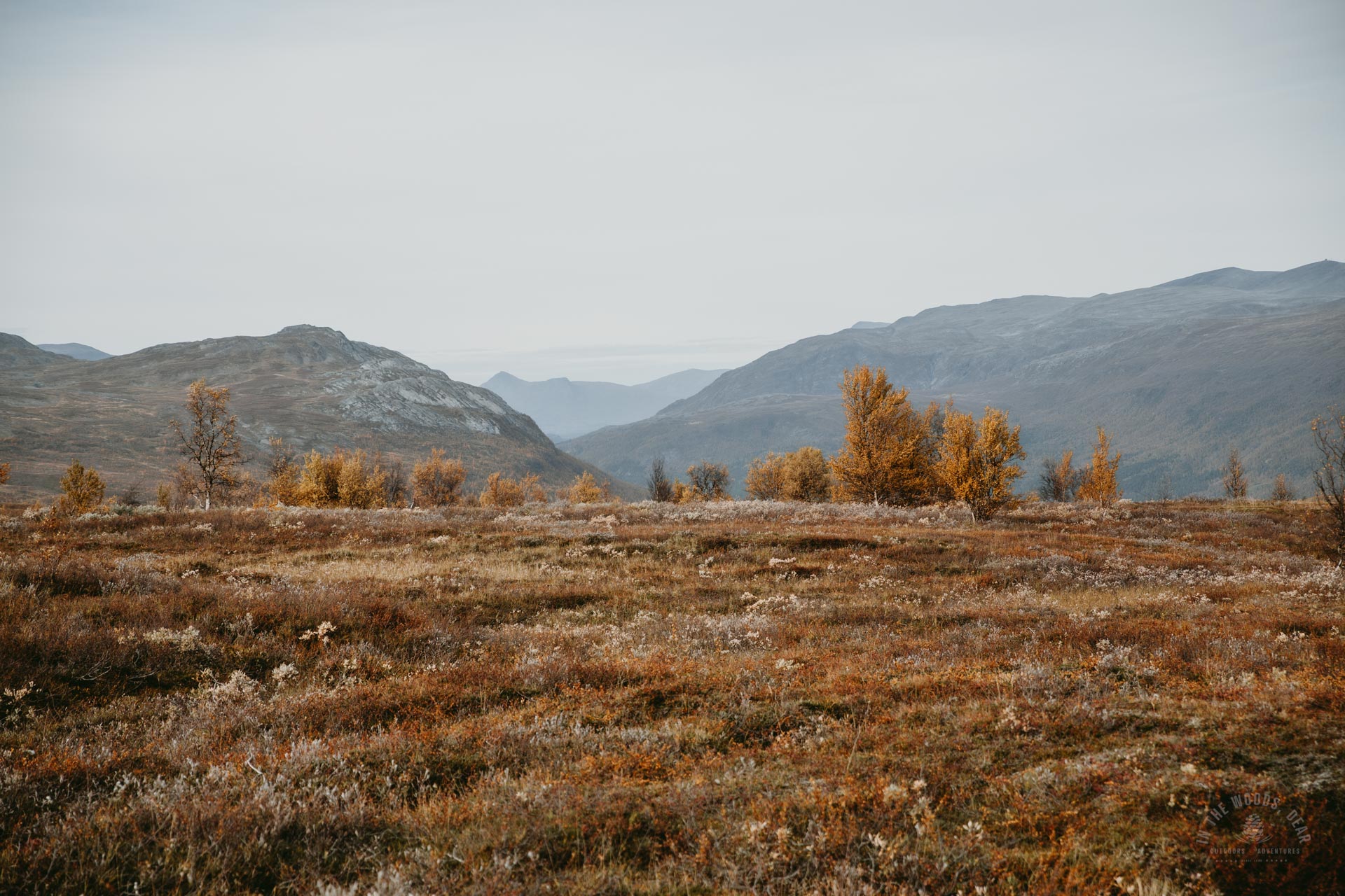
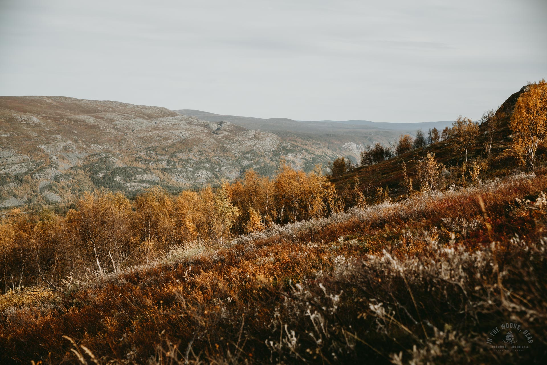
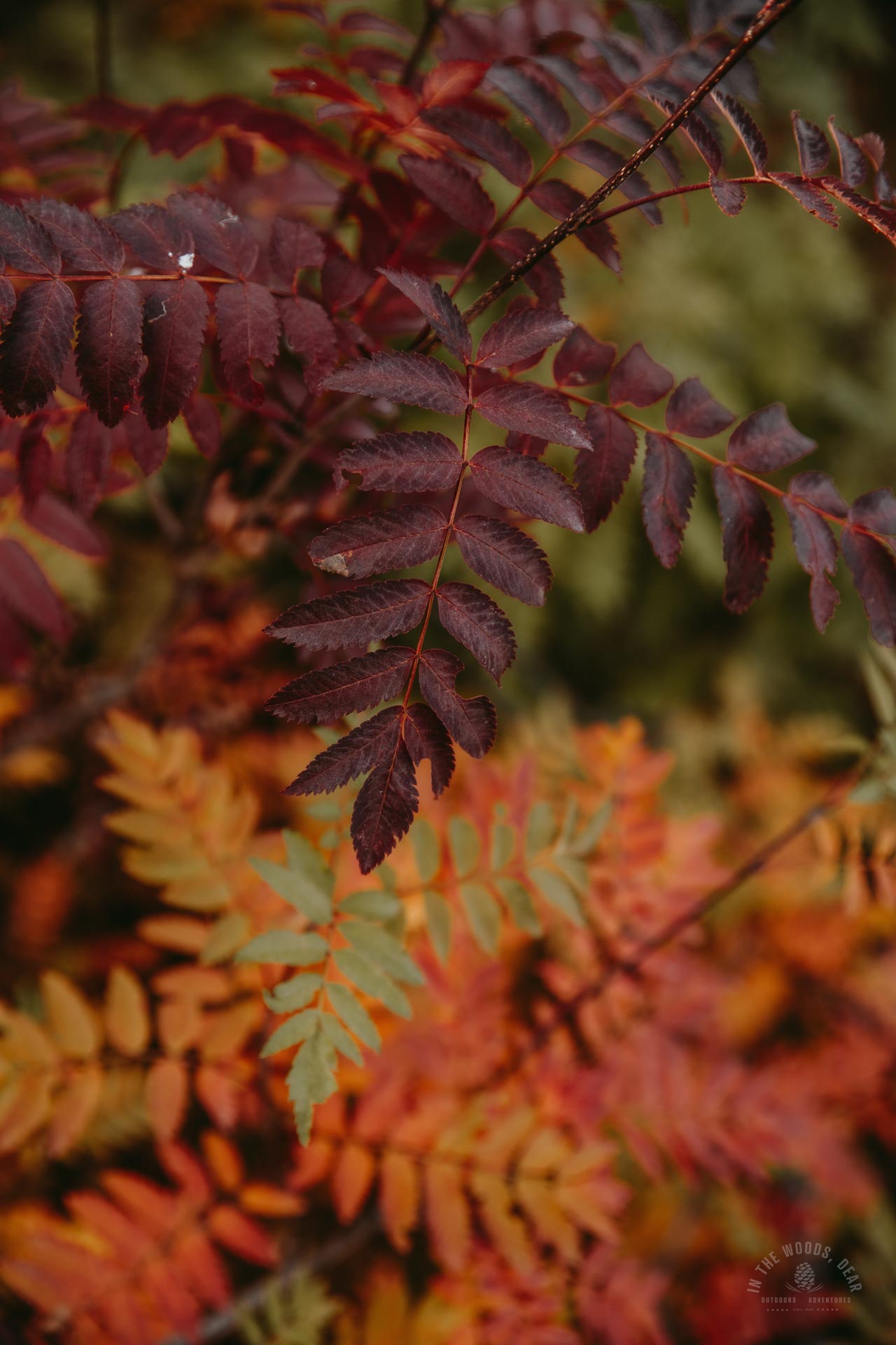
I set off to hike the Arctic Trail around the Skaidecohkka. A magnificent red vegetation blazed on the slopes. I threw my rucksack on the ground and then myself. It was time to just breathe and feel the September nature.
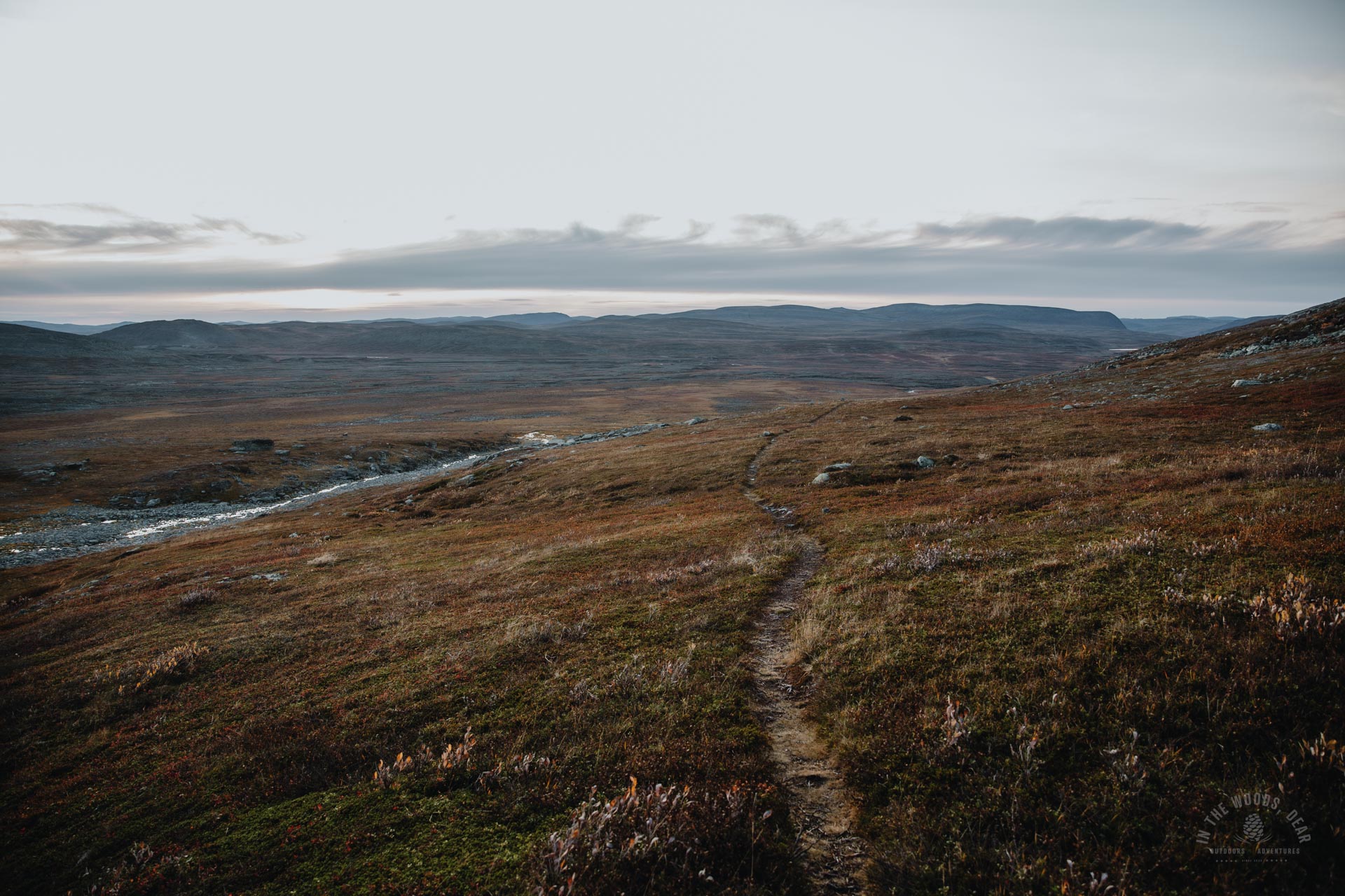
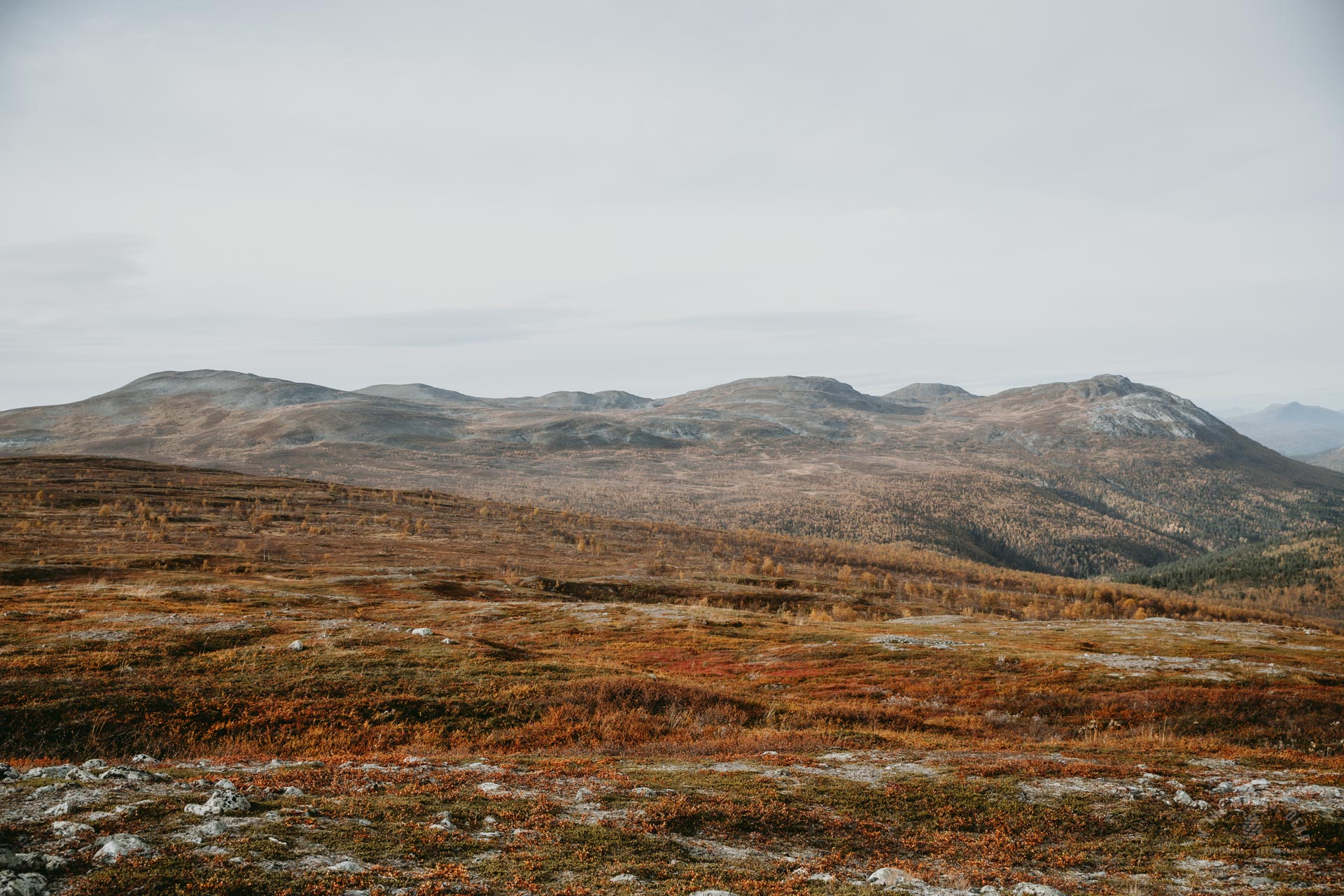
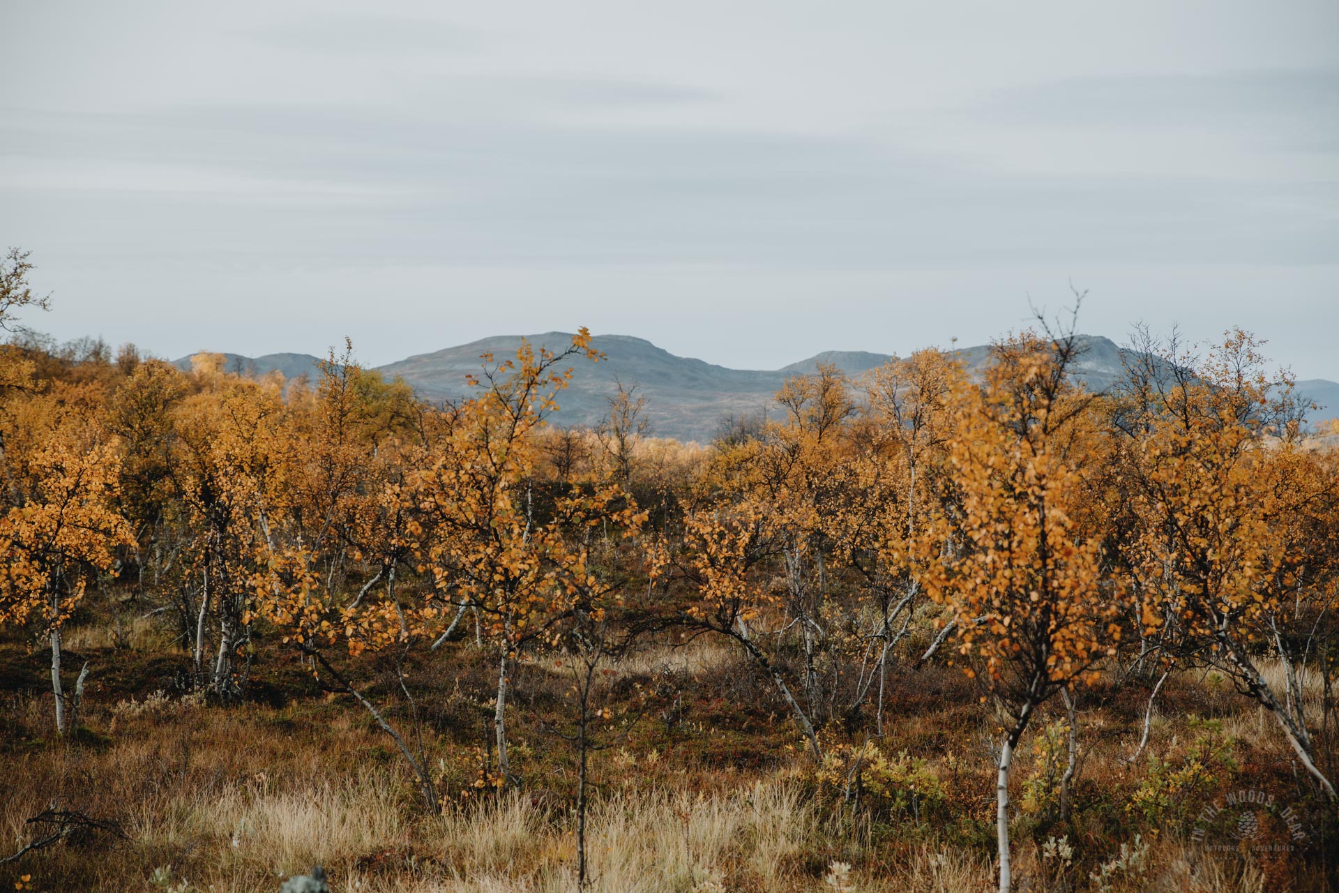
Mountains appeared on the landscape, and I could also see patches of snow in the distance. Buntadalen and Ruvdnagorsa carved deep grooves in the rock. Behind them, the gentle U-shaped saddle between Áittásvárri and Gahperus brought to mind the Swedish Lapporten in Abisko.
These more distant landscapes thrilled me more than the viewpoints, which can easily be walked to from a car park. Or landscapes that have to be shared with dozens or hundreds of other people. In a more remote place, it's easier to feel being part of the landscape and nature. Nature opens up in a different way.
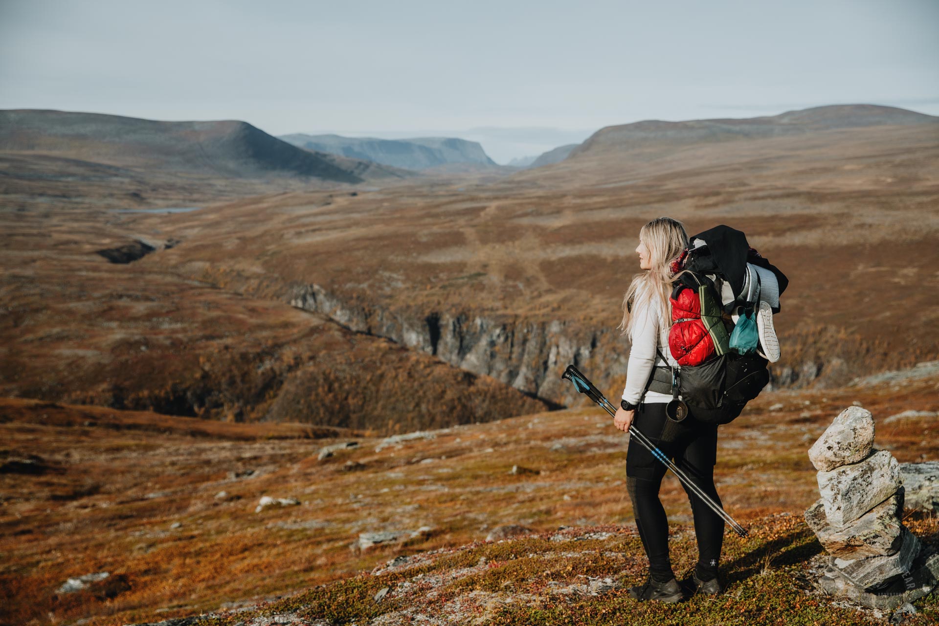
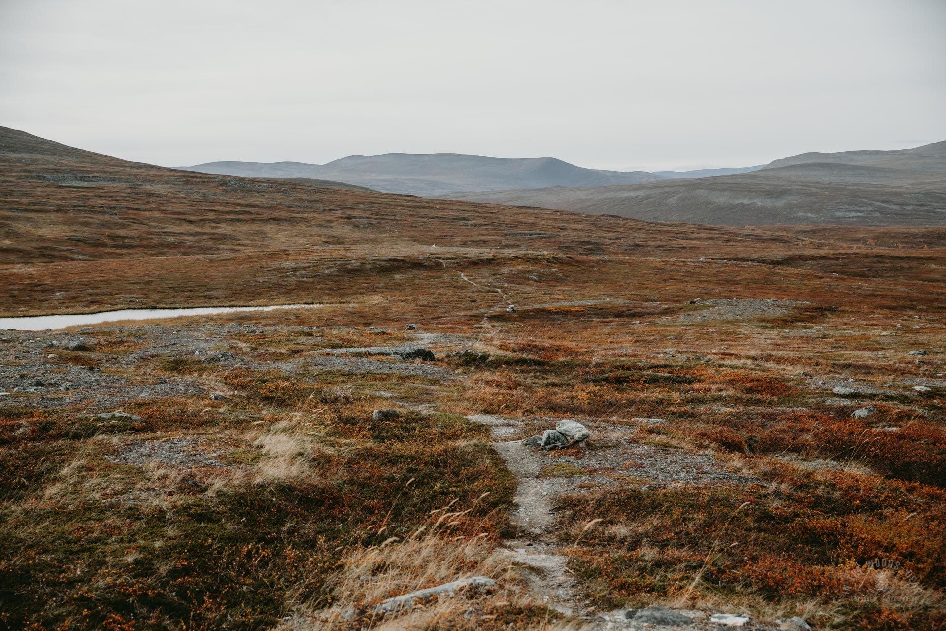
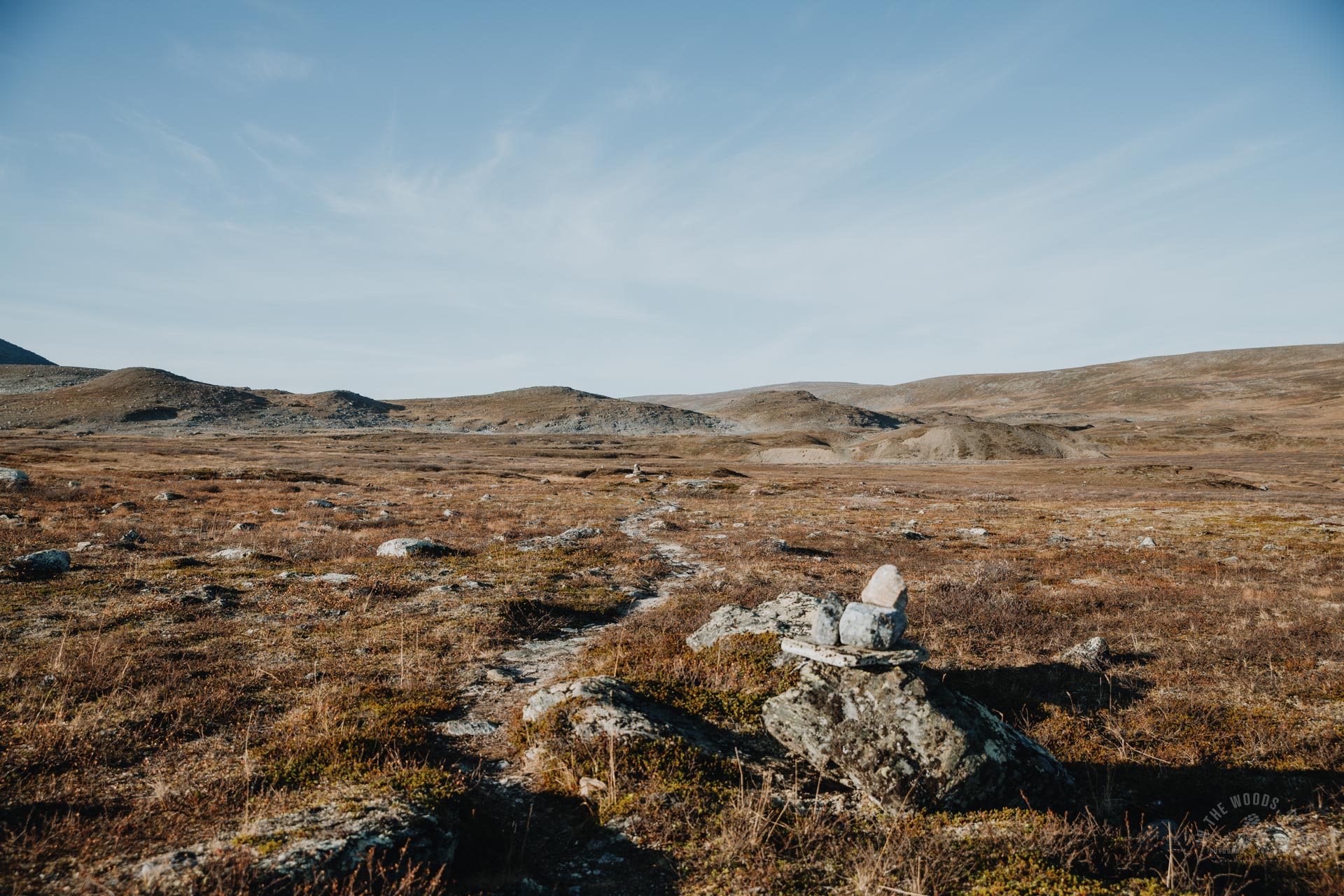
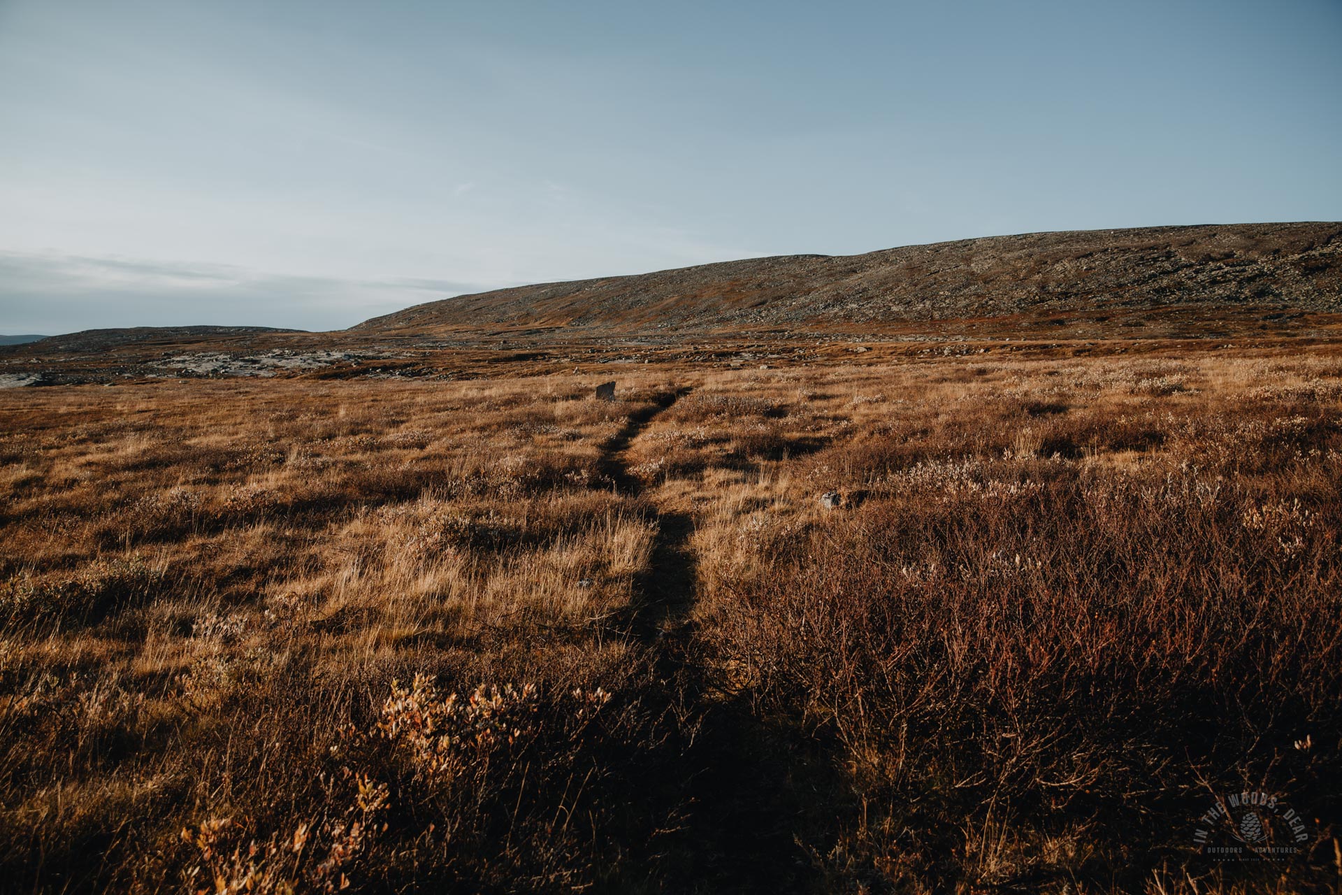
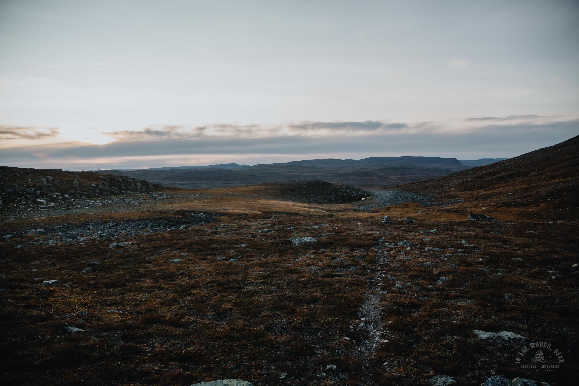
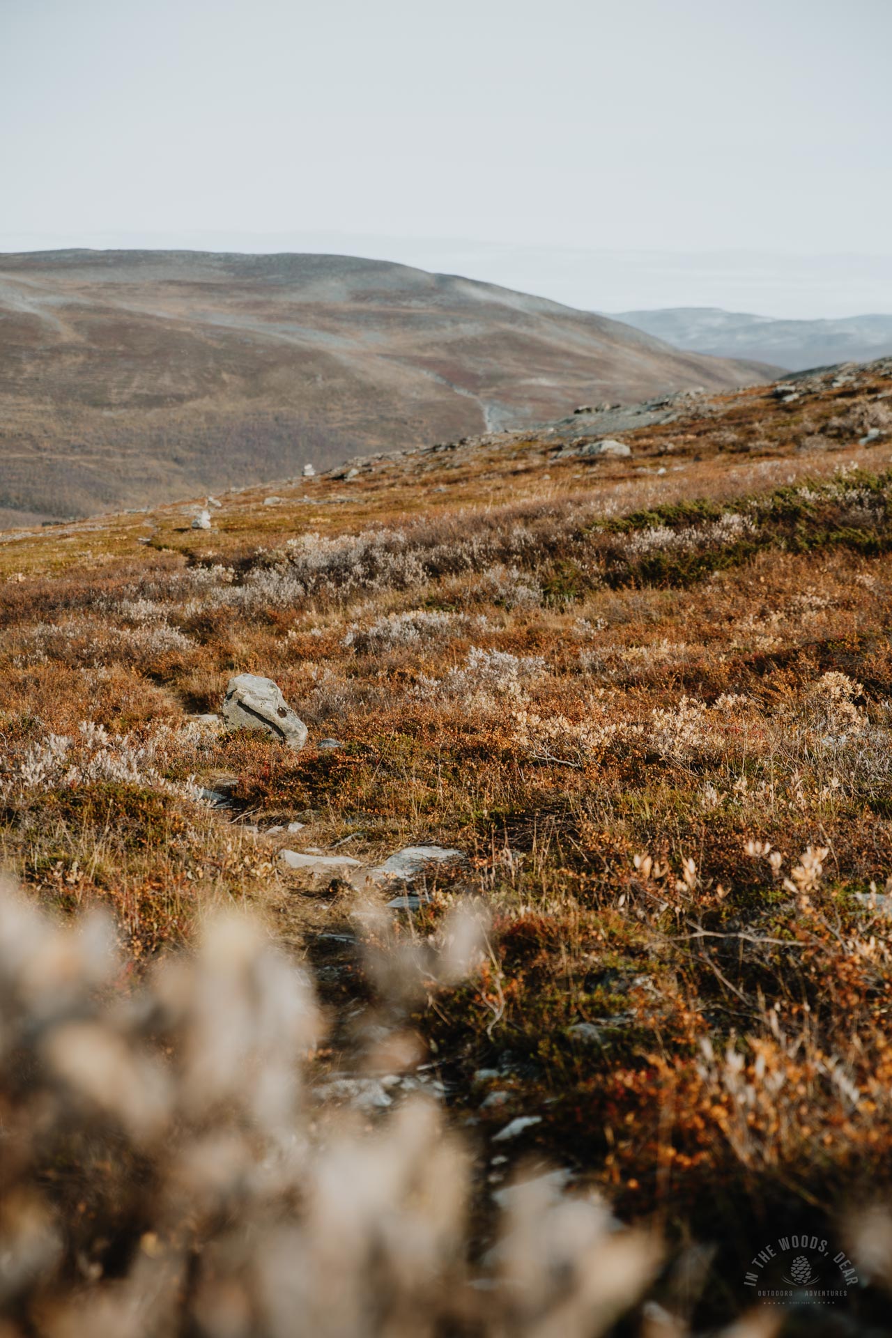
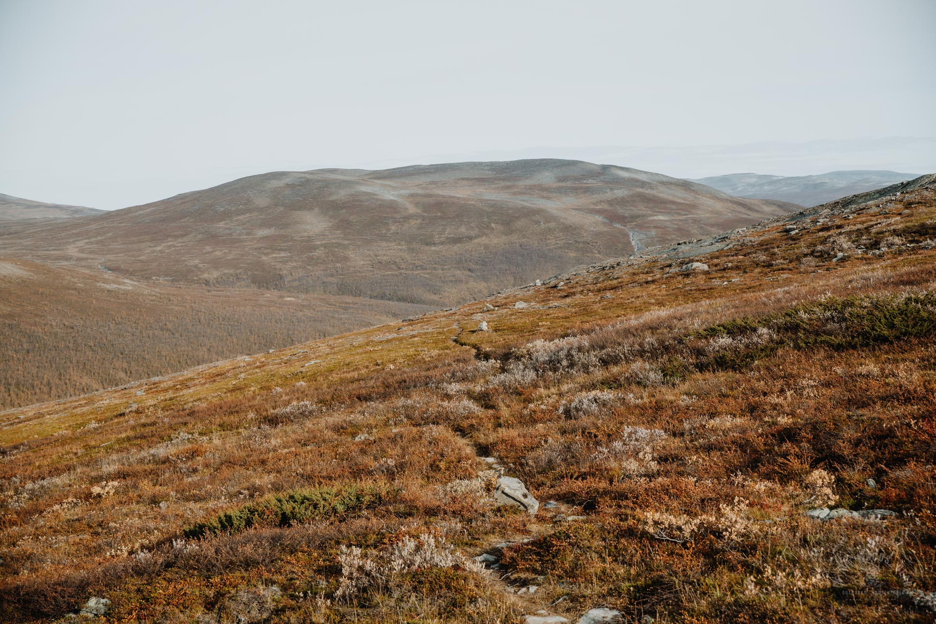
The Arctic Trail winds around the western side of the Skaidecohhka high up on a slope. It's funny how on the map the distance looks so short, but then in reality you can walk for hours around one fell or mountain.
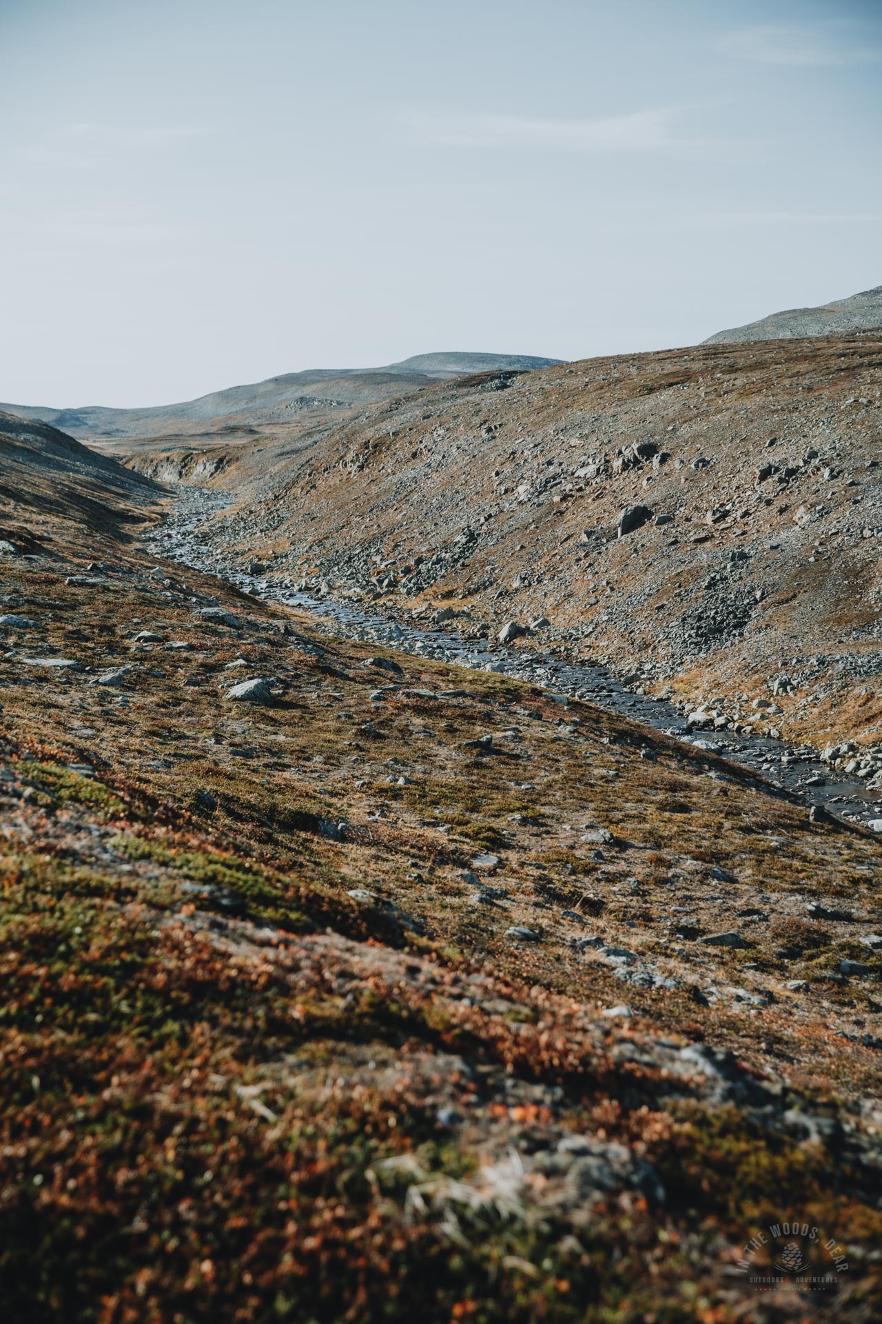
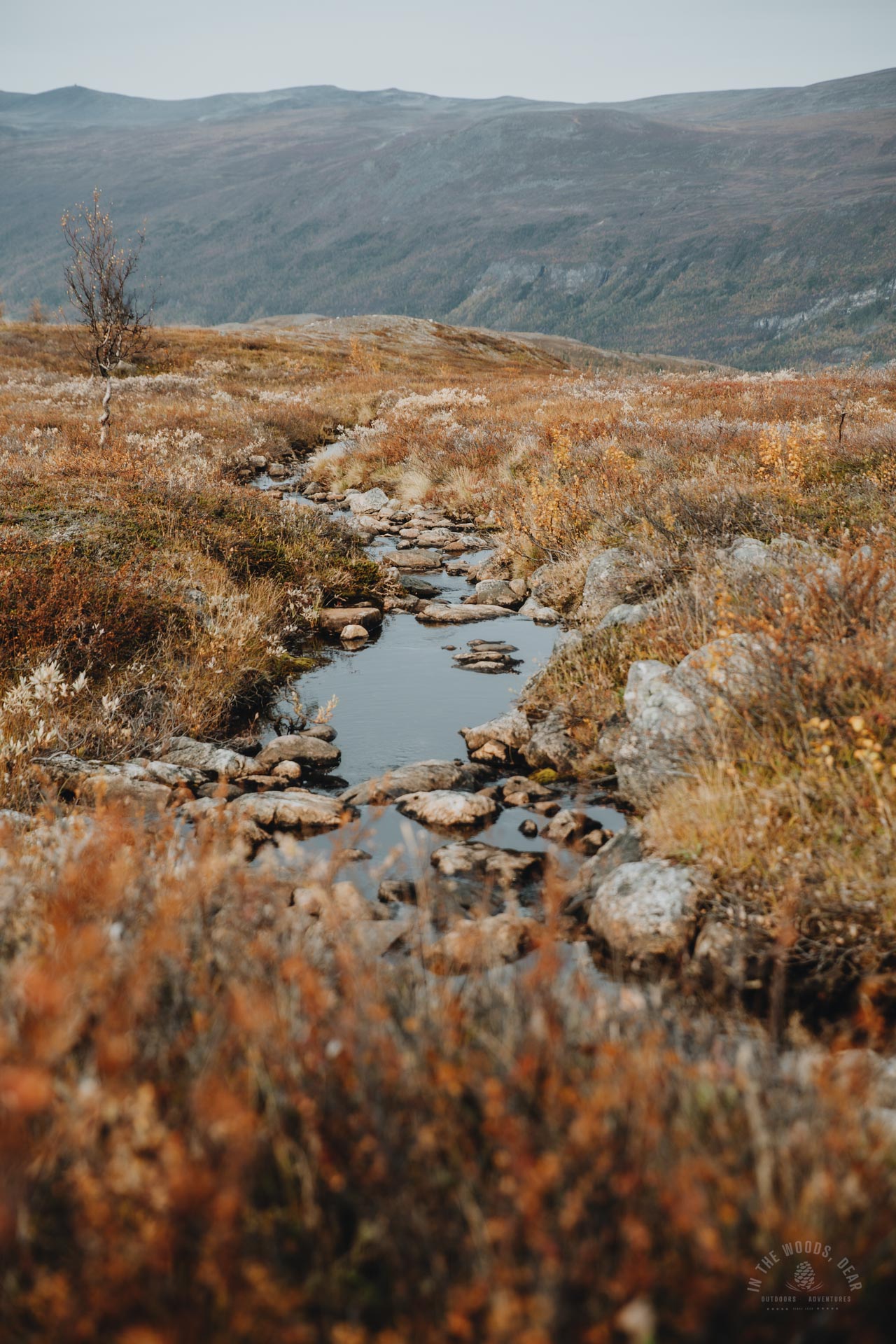
Before Meahccevárri, an unnamed stream flowed down the slope, which has its source near the top of Skaidecohhka. The clear-water brook was easily crossed on stones.
From the creek bed, you could easily climb to the top of the popular hiking destination of Skaidecohhka, and descend the slope towards Reisadalen. I wanted to walk the whole section of the Arctic Trail so I settled for the path just below the 800 m altitude curves.
The long, flat hike along the fellside ended at the Meahccejohka river. The branches of the Meahccejohka were just small creeks. The main branch in the middle flowed through a pretty slate bed, though there was not much water. I took an afternoon snack break sitting on the warm rocks.
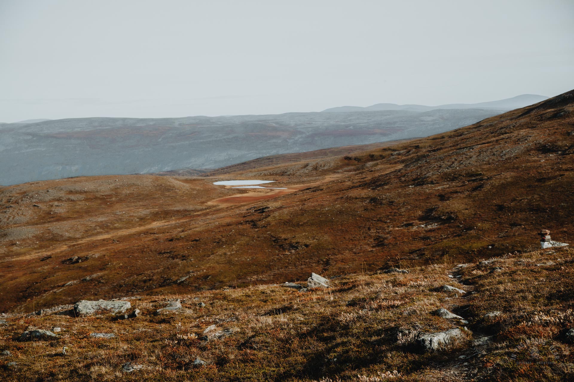
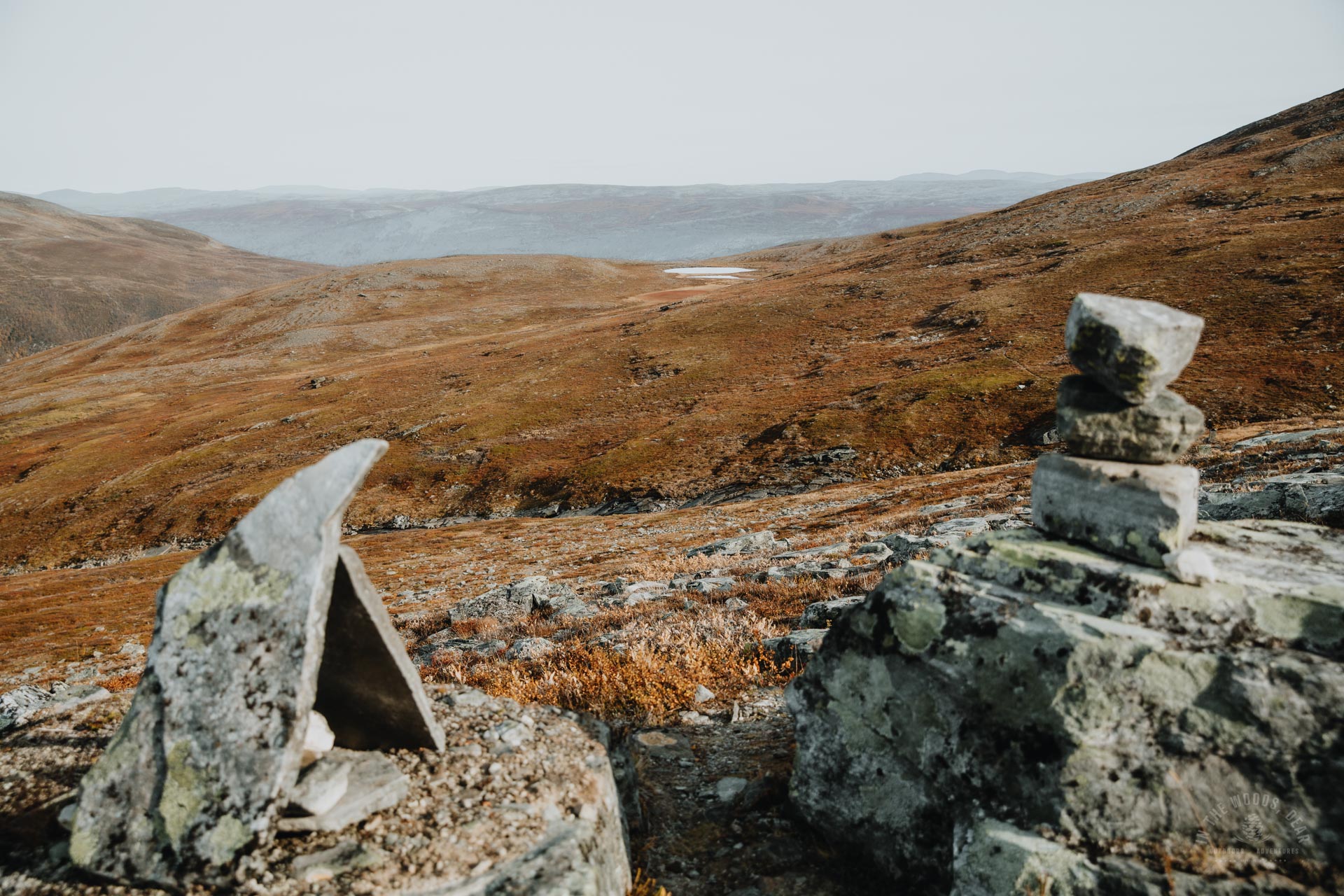
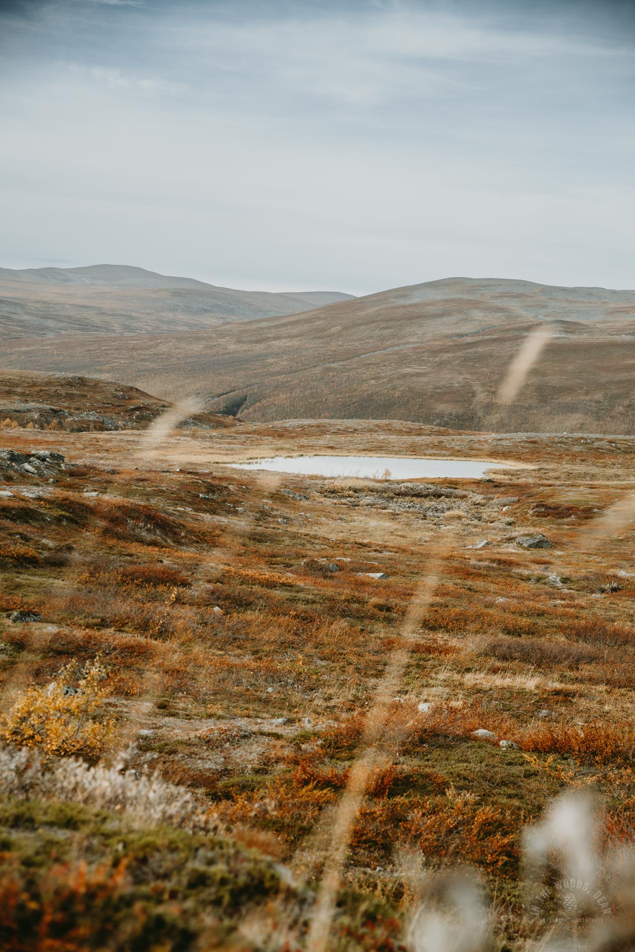
After the river, the trail climbed gently for another kilometer or so. Then began the long descent into the Reisadalen valley. There was a small pond on the slope and good flat terrain for camping.
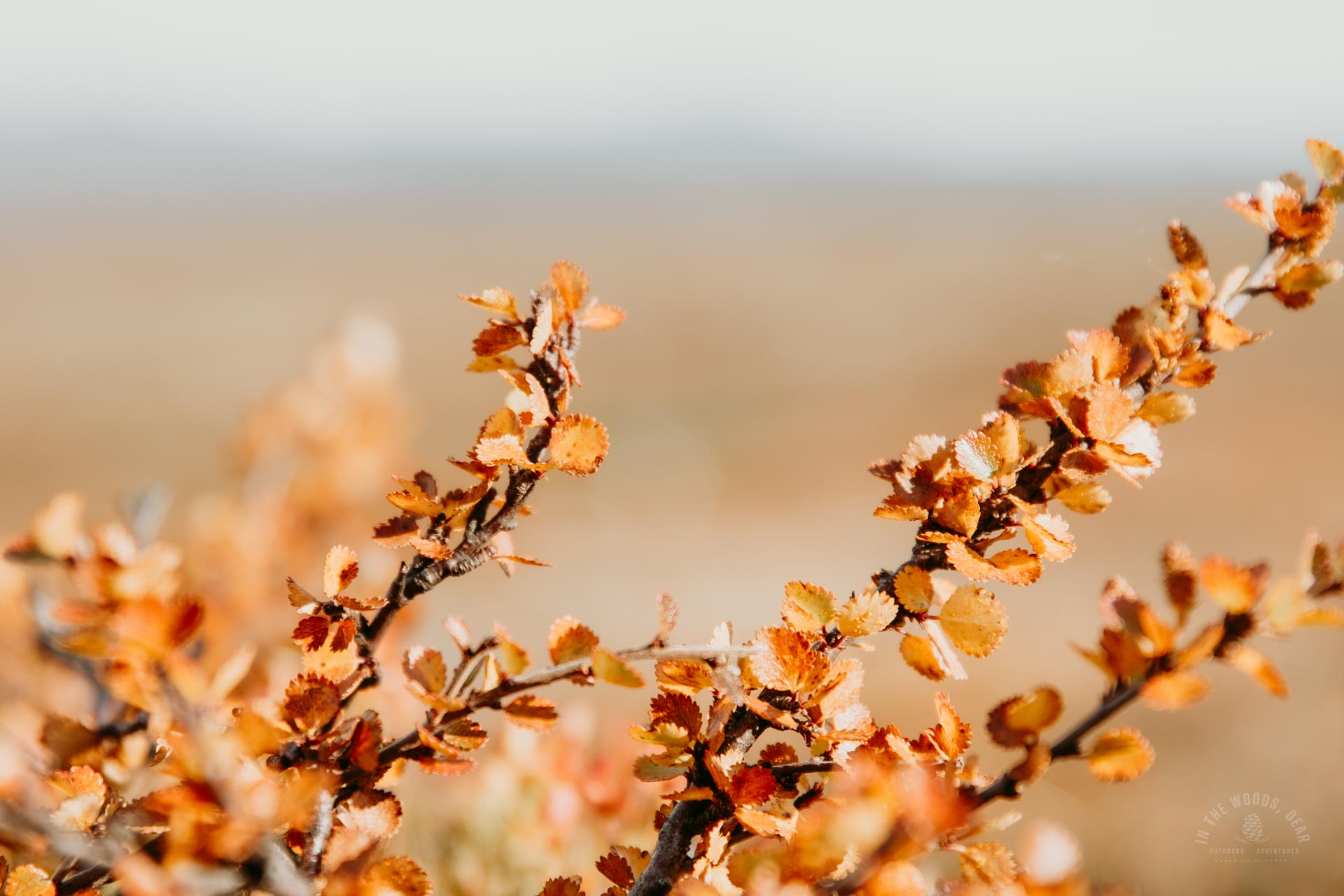
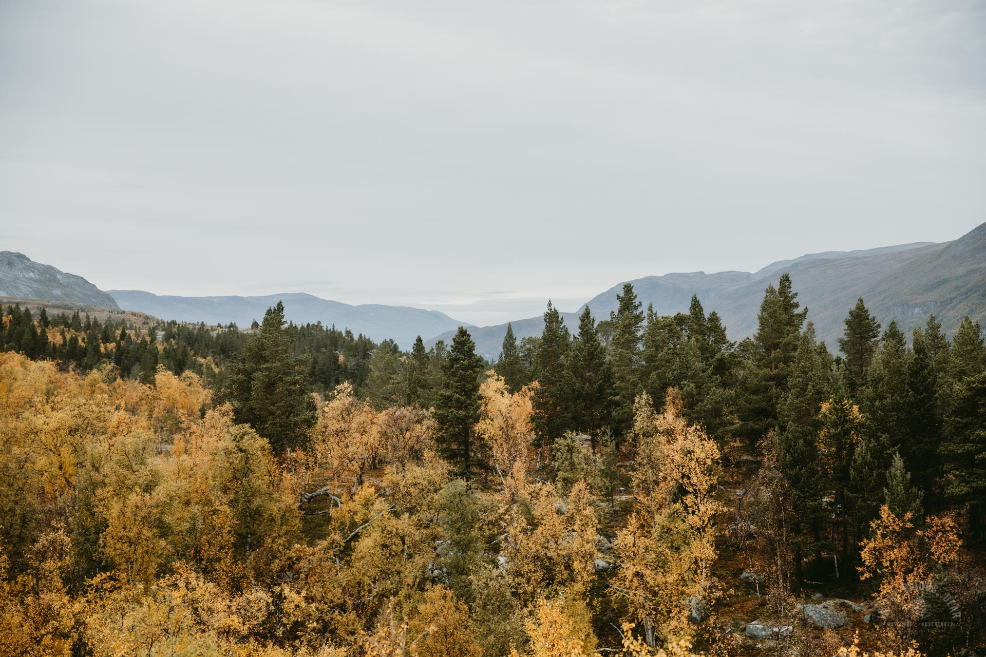
Gradually, Reisadalen and its steep walls began to open up from the slopes of the Skaidecohhka. At Kilpisjärvi, the leaves had mostly fallen from the trees, and I thought I had missed Reisa's autumn foliage. But the birches were already glowing yellow and orange in the distance, the autumn foliage seemed to be at its best.
Sarafossen
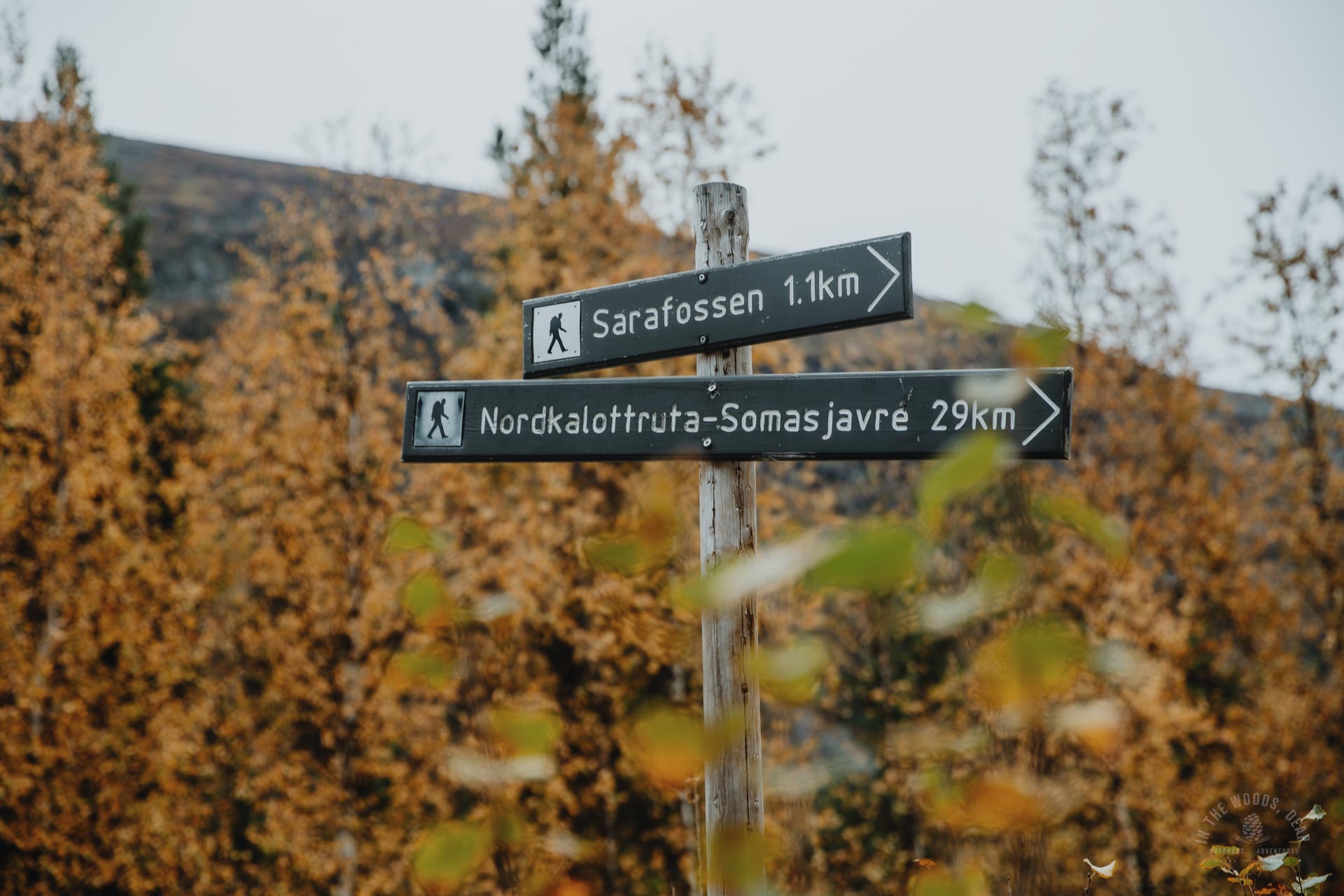
The path plunged into dense birch forest, winding down steep slopes in places. Sarafossen is a popular waterfall just off the Arctic Trail. I detoured off the trail and visited the upper slope of Sarafossen, where the signposted trail is 250 metres long.
On the upper plateau of Sarafossen is a campsite where I had originally planned to spend the night. My timetable had gone a little differently than I had planned, and I still had plenty of time left for hiking. I would hike closer to the border of Reisa National Park for the evening.
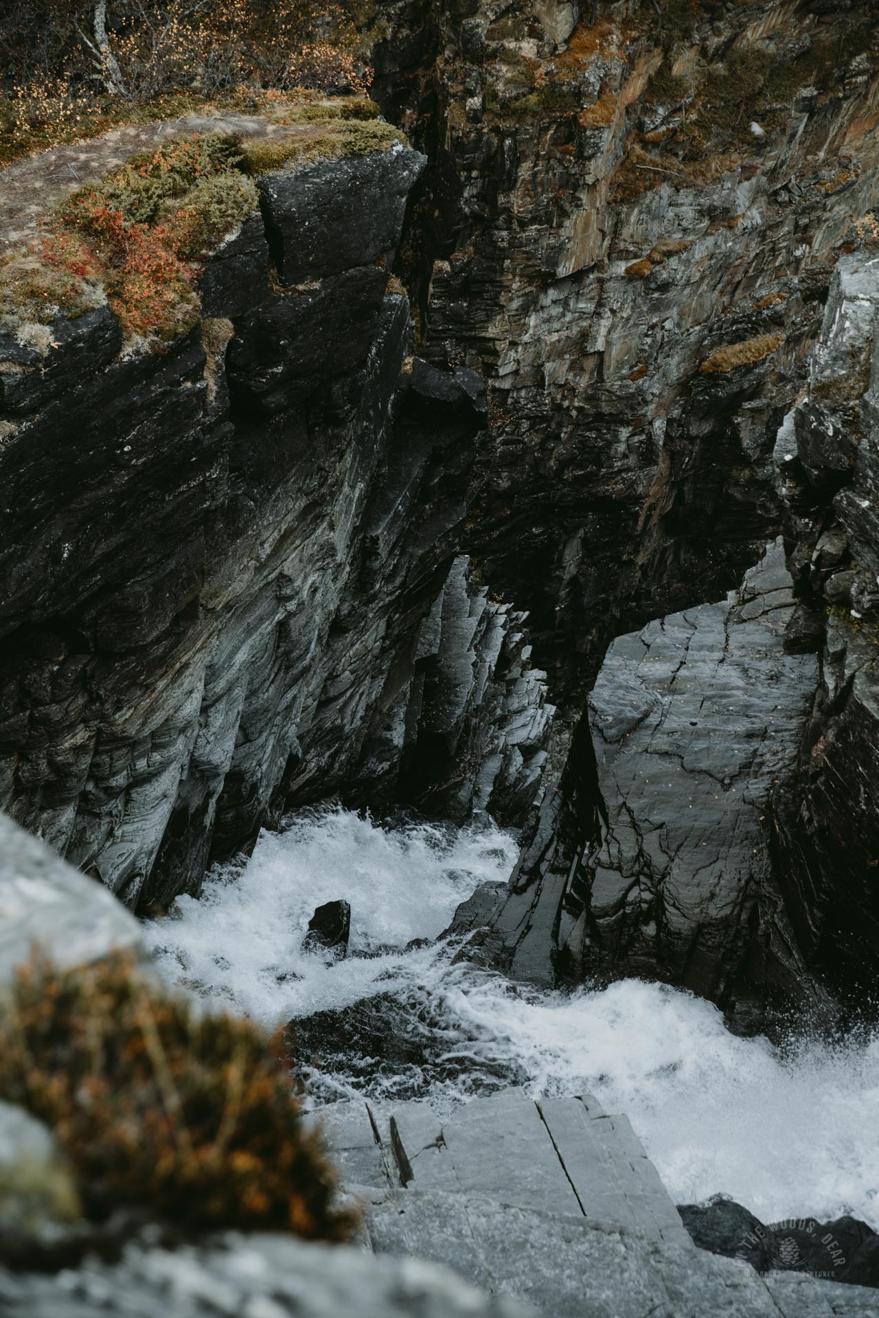
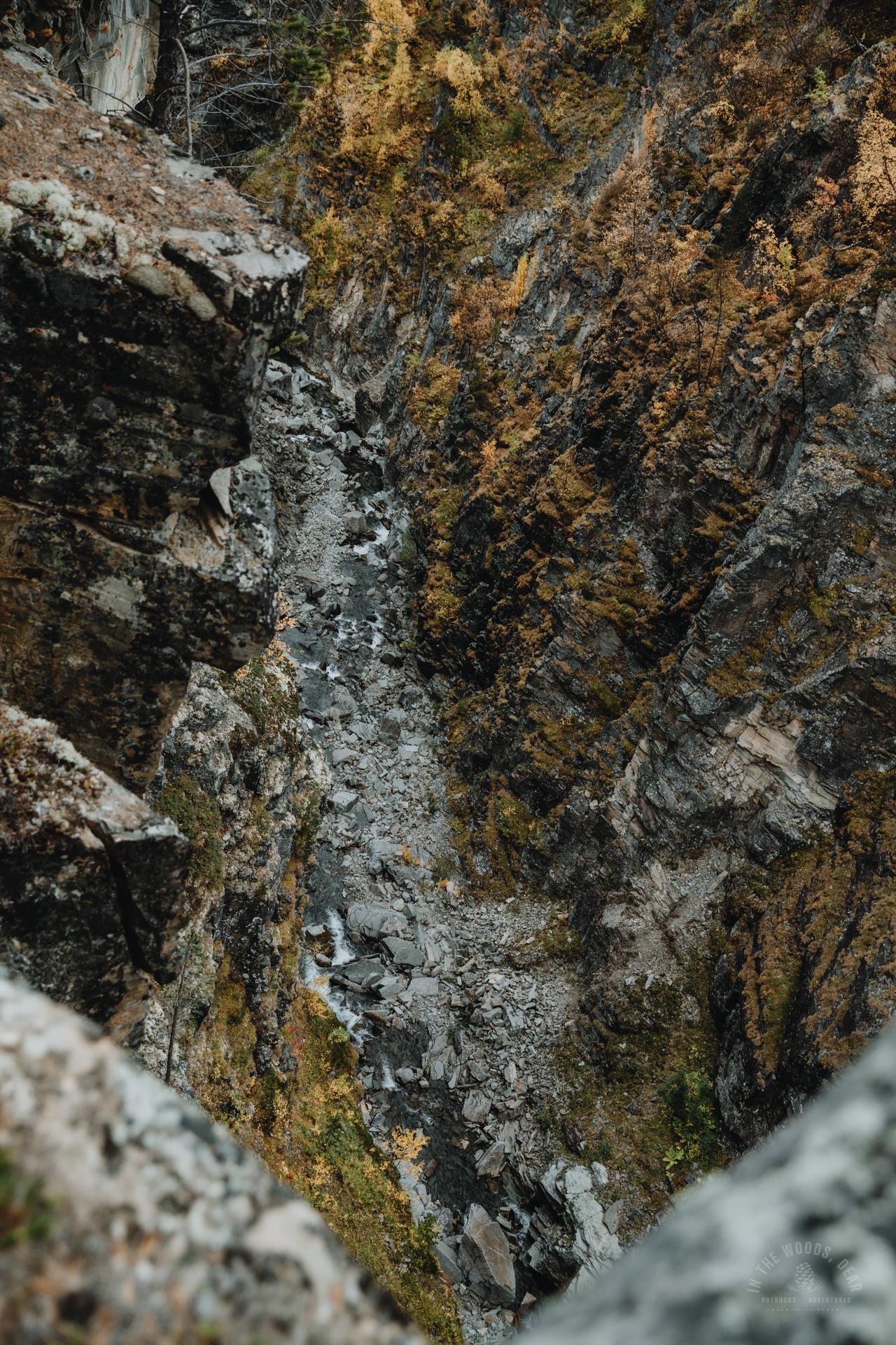
Sarafossen (Saragorzi, Saarakurkkii) is an incredible vertical-walled gorge where water cascades deep into the rock along dark slates. I left my rucksack on the cliff and scrambled down to the viewpoint.
From the top, the path descended quite steeply to a lower plateau, from which you can see into the depths of the gorge from different sides. The pictures don't give you any idea of the sheer depth of the canyon.
On the plateau of Sarafossen I caught a glimpse of two day hikers. I had last met other people several days ago, somewhere around Saarijärvi in the Käsivarsi wilderness, where I had set out to hike my own trails. I hadn't seen anyone on the whole section of the Arctic Trail.
From the plateau, the Arctic Trail continued very steeply downhill through dense forest. The descent was hard on my knees, which had already had a good dose of hill exercising in the Käsivarsi wilderness. A little after 6pm, I reached a dirt road with a signpost for the Arctic Trail.


Ovi Raishiin & Nordkalottstua
After half an hour of walking, there was a big signpost along the road. The famous waterfall of Mollisfossen would be waiting 19 km away. Imofossen waterfall was 32 kilometres away, that would be tomorrow's journey.
200 metres up the path would be the Ovi Raishiin. Ovi Raishiin (literally a gate to Reisa National Park) is the nature centre of Reisa National Park. At the nature centre you will find free campfire sites and shelters, toilets, information about the area and hiking trails.
Nordkalottstua (Halti National Park Centre) is also located on the upper route at the same location as Ovi Raishiin. Nordkalottstua is a four-person hut accessible with a standard DNT key.
I continued on the dirt road without visiting the visitor centre. It would be another 9 km to Sieimma, a good two-hour or two-and-a-half-hour hike. The sun would set in about 20 minutes. Of course, after sunset there is still an hour or so of light to walk.
At about the point where Ovi Raishiin and Nordkalottstua are located, the dirt road reached the river bank and turned into a path. This was about three kilometres from the Sarafossen plateau. I had no idea when the first suitable campsite would come up, so I put one foot in front of the other again.
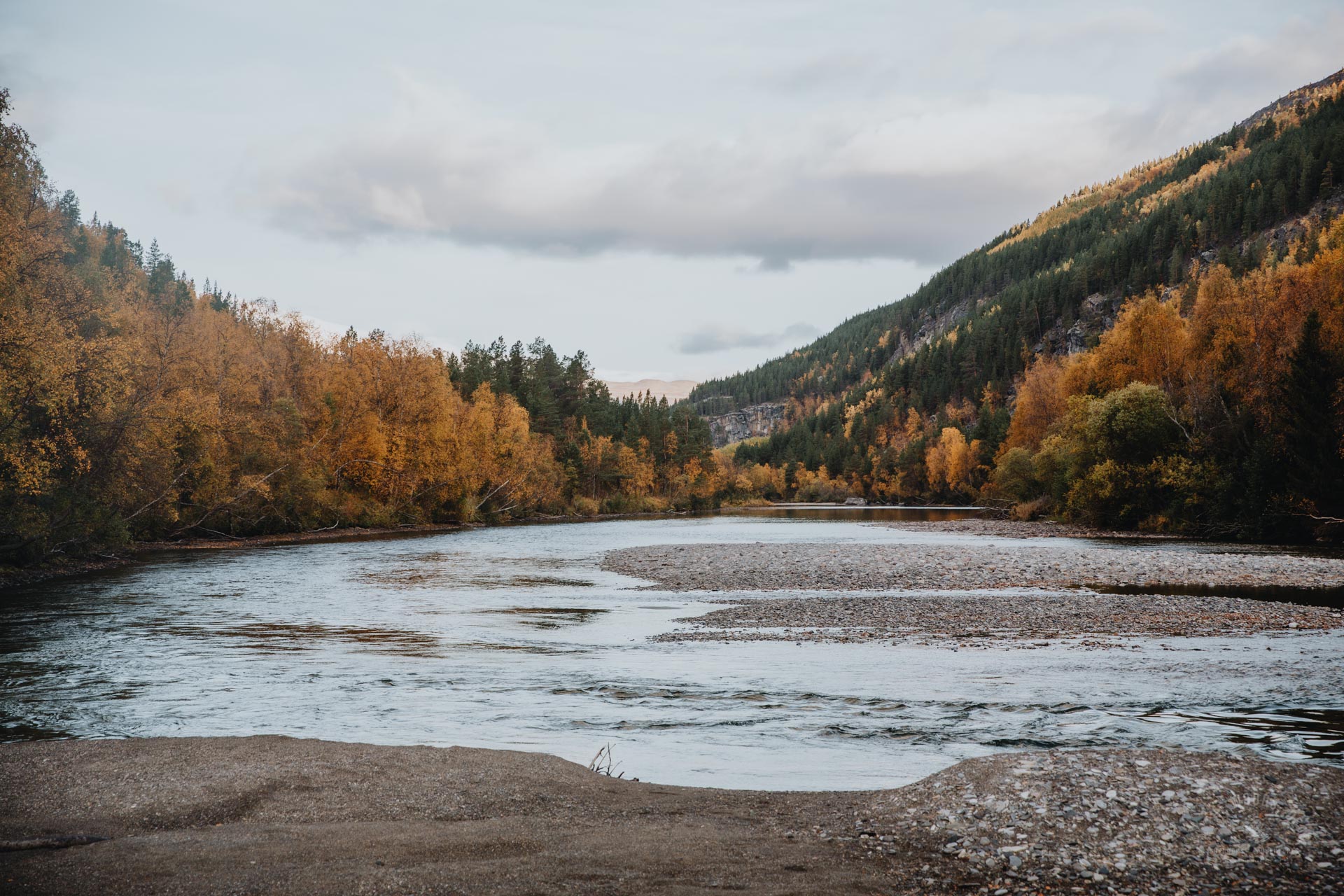


Hiking the Arctic Trail along River Reisaelva
Although the trail ran right along the riverbank, it passed through dense forest. It was already dusk in the forest, perhaps a little eerie. Fortunately, the path was not difficult to follow.
The darkness was falling fast and the bushes went on and on. My aim had been to make it as far as Sieimma, but I was prepared to camp somewhere along the path. I hadn't found any camping spots yet.
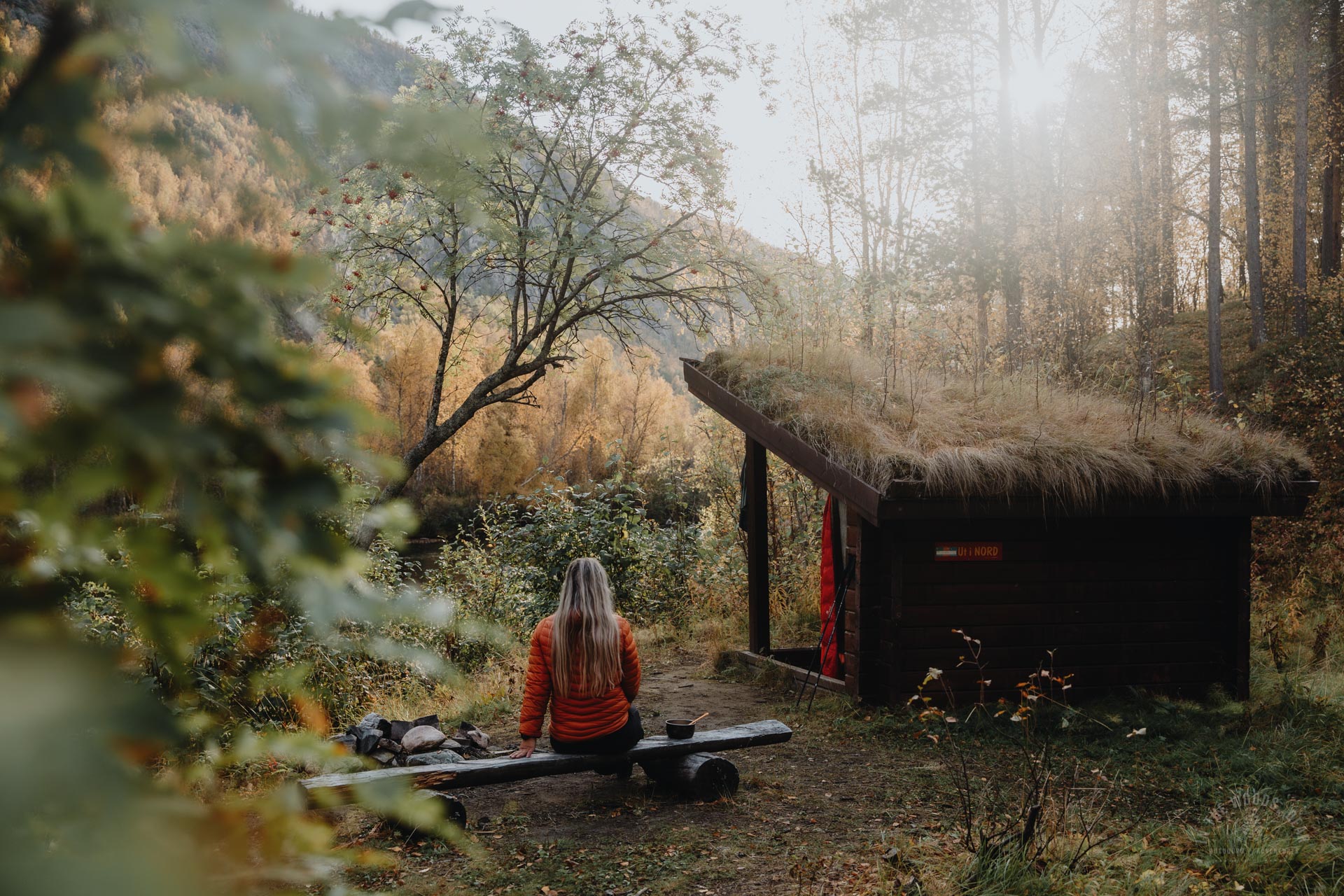
Suddenly I spotted a grass-covered structure - a shelter! Indeed, there was a small shelter with benches and a table, a fireplace, a dry toilet and a large flat area for a tent. I hadn't noticed the shelter on my map and there was no information about the shelter on the info board by the road. This was a very nice surprise.
By the light of the headlamp I pitched my tent and sat down contentedly on the campfire bench for dinner. Quite adventurous camping every night so far.
In the darkness of the forest, I suddenly hear a sound of an engine and shouting began. I turned off my headlamp, stayed quiet and listened. A motorboat with two men on board was cruising along the river, stopping here and there at the river bends. Fishing on the Reisaelva river was strictly forbidden according to signs, perhaps there were local exemptions.
The morning dawned bright and still at the Käyräniva shelter. I was grateful for the weather on this year's autumn hike, I couldn't have wished for better.
I packed my hiking gear, which had dried in the shelter, into my rucksack and headed for the Arctic Trail towards Sieimma. Reisa National Park and the colourful valley awaited the hiker!


